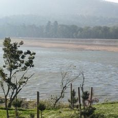
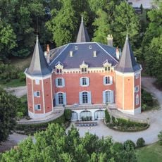
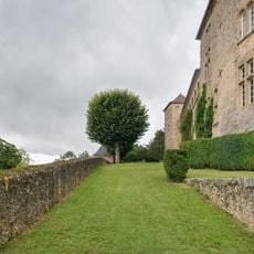
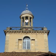
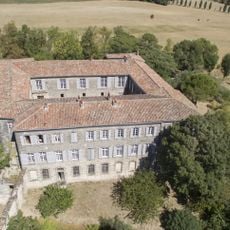
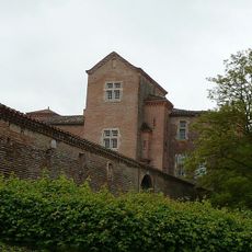
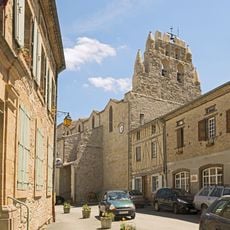
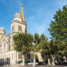
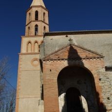
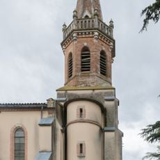
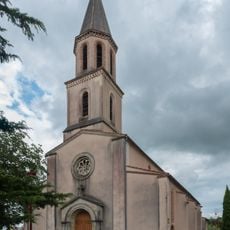
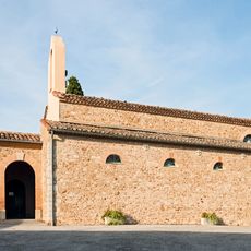
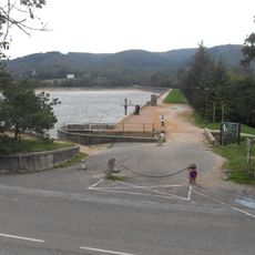
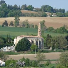
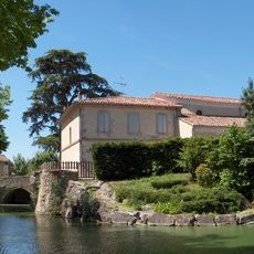
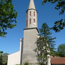
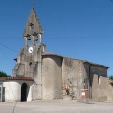
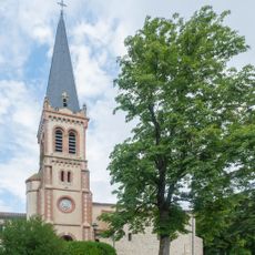
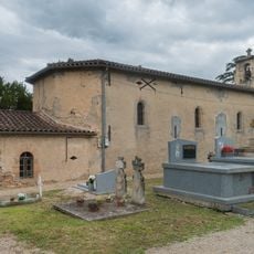
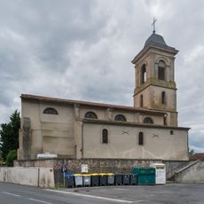
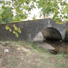
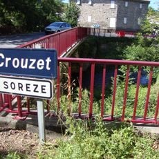
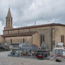
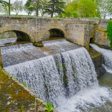
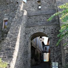
Garrevaques, commune in Tarn, France
Location: canton of Dourgne
Location: Tarn
Location: arrondissement of Castres
Elevation above the sea: 190 m
Industry: administration publique générale
Shares border with: Revel, Montgey, Palleville, Poudis
Phone: +33563750450
Email: commune.garrevaques@wanadoo.fr
GPS coordinates: 43.49000,1.98056
Latest update: April 1, 2025 09:49
Bassin de Saint-Ferréol
6.9 km
Château de Garrevaques
1.1 km
Château de Montgey
4.6 km
Halle du Beffroi
4 km
Château d'Aguts
6.3 km
Château de Padiès
7.3 km
Château de Lastouzeilles
1.8 km
Église Sainte-Agathe-et-Saint-Julien de Saint-Julia
6.7 km
Calvaire d'Aguts
5.5 km
Église Notre-Dame de Revel
4.2 km
Église Saint-Barthélemy de Montgey
4.5 km
Église Saint-Pierre de Poudis
3.5 km
Église Saint-Martin de Palleville
1.8 km
Église Saint-Sernin de Saint-Sernin-lès-Lavaur
6.8 km
Église Saint-Pierre-ès-Liens de Belleserre
6.1 km
Barrage de Saint-Ferréol
6.9 km
Église Notre-Dame de Péchaudier
6.6 km
Église Saint-Jean-Baptiste de Roumens
5.2 km
Église Saint-Saturnin de Dreuilhe
6.1 km
Église Saint-Étienne de Nogaret
4.2 km
Église Saint-Pierre d'Aguts
6.8 km
Église Saint-Laurent de Garrevaques
942 m
Église Notre-Dame de Blan
4.6 km
Pont du Riat
4.7 km
Prise d'eau de Pont-Crouzet
6.9 km
Chapelle Notre-Dame-de-l'Assomption d'Auvezines
3.1 km
Épanchoir du Laudot
7 km
Porte du Cers
6.7 kmReviews
Visited this place? Tap the stars to rate it and share your experience / photos with the community! Try now! You can cancel it anytime.
Discover hidden gems everywhere you go!
From secret cafés to breathtaking viewpoints, skip the crowded tourist spots and find places that match your style. Our app makes it easy with voice search, smart filtering, route optimization, and insider tips from travelers worldwide. Download now for the complete mobile experience.
A unique approach to discovering new places❞
— Le Figaro
All the places worth exploring❞
— France Info
A tailor-made excursion in just a few clicks❞
— 20 Minutes