
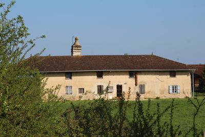
Ferme de Molardoury, human settlement in France
Location: Saint-Trivier-de-Courtes
Address: Molardoury
GPS coordinates: 46.45630,5.06442
Latest update: June 23, 2025 15:11
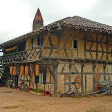
Ferme de la forêt
4.3 km
Ferme de Grandval
669 m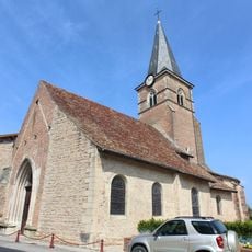
Église Saint-Trivier de Saint-Trivier-de-Courtes
1.4 km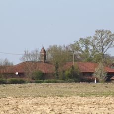
Ferme du Tremblay
1.9 km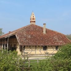
Ferme Tricot
3.2 km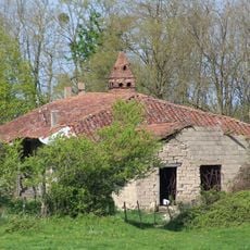
Ferme des Chanées
4.2 km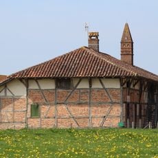
Ferme Ferrand
3.2 km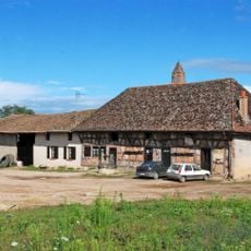
Ferme de la Servette
1.4 km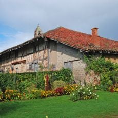
Ferme de Montalibord
2.4 km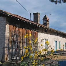
Ferme de Loscelle
3.1 km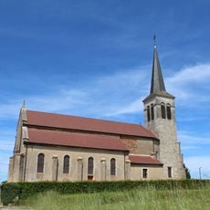
Église Saint-Hilaire de Courtes
2.8 km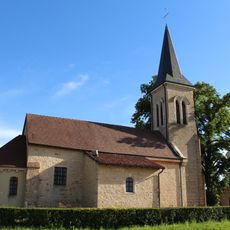
Église Notre-Dame-de-l'Assomption de Vescours
3.5 km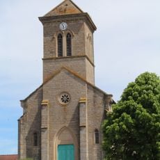
Église Sainte-Marie-Madeleine de Mantenay-Montlin
4.3 km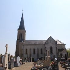
Église Saint-Barthélemy de Servignat
2.5 km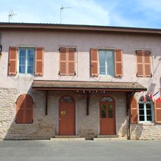
Town hall of Courtes
2.8 km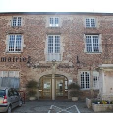
Town hall of Saint-Trivier-de-Courtes
1.3 km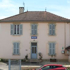
Town hall of Mantenay-Montlin
4.4 km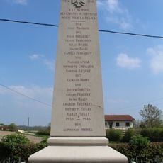
War memorial of Servignat
2.6 km
Town hall of Servignat
2.5 km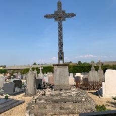
Cemetery cross of Saint-Trivier-de-Courtes
1.5 km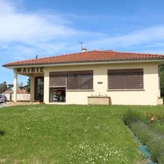
Town hall of Vernoux
4.4 km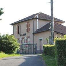
Town hall of Vescours
3.7 km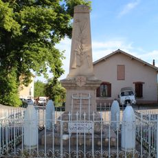
War memorial of Vescours
3.5 km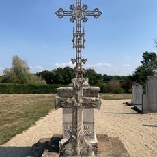
Cemetery cross of Mantenay-Montlin
4.3 km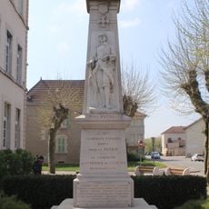
War memorial of Saint-Trivier-de-Courtes
1.2 km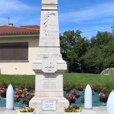
War memorial of Vernoux
4.4 km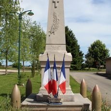
War memorial of Courtes
2.8 km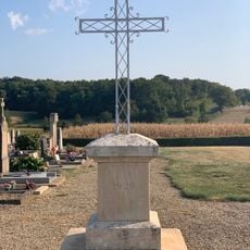
Cemetery cross of Vescours
3.2 kmVisited this place? Tap the stars to rate it and share your experience / photos with the community! Try now! You can cancel it anytime.
Discover hidden gems everywhere you go!
From secret cafés to breathtaking viewpoints, skip the crowded tourist spots and find places that match your style. Our app makes it easy with voice search, smart filtering, route optimization, and insider tips from travelers worldwide. Download now for the complete mobile experience.

A unique approach to discovering new places❞
— Le Figaro
All the places worth exploring❞
— France Info
A tailor-made excursion in just a few clicks❞
— 20 Minutes