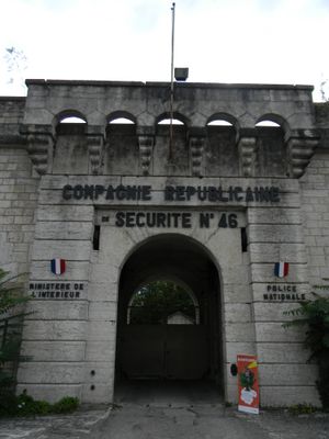
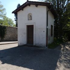
Sainte-Foy Fort, Military fort in Sainte-Foy-lès-Lyon, France.
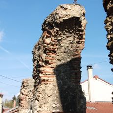
Sainte-Foy Fort is a military fortress positioned above the Saône River, with a deep moat and a drawbridge at its main entrance facing toward Lyon. The structure includes barracks, storage facilities, and underground systems designed for water and ammunition supply.
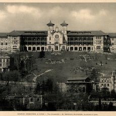
Built in 1843 as part of Lyon's first defensive ring, the fort served as a strategic point to control the Saône valley and protect the city's surroundings. Its design reflected military engineering standards of the time.
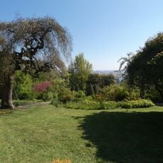
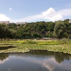
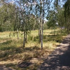
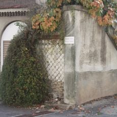
The fort grounds are now part of Marius-Bourrat Park, where local residents and visitors walk among gardens and green spaces. This public area blends the historic structure with everyday neighborhood life.
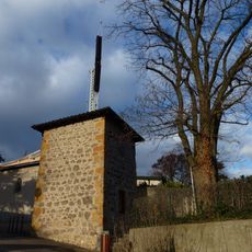
The site is accessible today mainly as a public park and is best reached on foot. Visitors should know that parts of the grounds remain in operational use by security forces.
The fort featured a sophisticated water system with two wells and an underground cistern that collected rainwater to sustain its garrison. This self-sufficient water supply was crucial for long-term survival during a siege.
Location: Sainte-Foy-lès-Lyon
Capacity: 600
Part of: First Belt of Lyon
GPS coordinates: 45.74310,4.80429
Latest update: December 14, 2025 18:00
La Sucrière
1.1 km
Hospice Debrousse
861 m
Orange Cube
913 m
Quai Rambaud
793 m
La Tête dans les Nuages Lyon Confluence 2° ét.
940 m
Jardin de la Bonne Maison
415 m
Parc du Brûlet
343 m
Quai des Étroits
1.4 km
Sainte-Foy-lès-Lyon semaphore tower
916 m
Lyon City Boat
1.2 km
Bateau-chapelle des bateliers de Lyon
1.1 km
Euronews building in Lyon
1.3 km
Église Sainte-Foy de Sainte-Foy-lès-Lyon
759 m
Église Saint-Luc de Sainte-Foy-lès-Lyon
871 m
Jardin aquatique de Ouagadougou
874 m
Jardin d'Erevan
991 m
Chapelle de Sainte-Foy-lès-Lyon
720 m
Esplanade François Mitterrand
1.3 km
Quai Arlès Dufour
985 m
Quai Antoine Riboud
1 km
Passerelle Florence Arthaud
919 m
Chapelle Sainte-Marguerite de Sainte-Foy-lès-Lyon
900 m
GL Events Headquarters
1.4 km
Domaine de Bellerive
713 m
Aqueduc du chemin de Narcel
964 m
Piles de la Rue Georges Clémenceau
209 m
Maison, 50 rue Joseph-Ricard
624 mVisited this place? Tap the stars to rate it and share your experience / photos with the community! Try now! You can cancel it anytime.
Discover hidden gems everywhere you go!
From secret cafés to breathtaking viewpoints, skip the crowded tourist spots and find places that match your style. Our app makes it easy with voice search, smart filtering, route optimization, and insider tips from travelers worldwide. Download now for the complete mobile experience.
A unique approach to discovering new places❞
— Le Figaro
All the places worth exploring❞
— France Info
A tailor-made excursion in just a few clicks❞
— 20 Minutes