Força Réal, Mountain summit near Montner, France
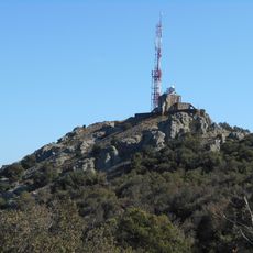
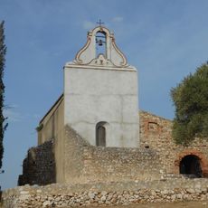
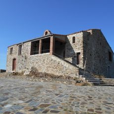
Força Réal is a rocky summit rising to 510 metres in the Corbières catalanes, on the land of Montner, Millas and Corneilla-la-Rivière. Its dark green slopes carry patches of grey rock, and a relay antenna tops the highest point. An ermitage stands on the western ridge, 250 metres from the summit.
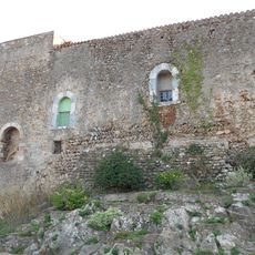
After the 1258 Treaty of Corbeil, the kings of Aragon and Majorca built a castle here to guard the northern border of Roussillon, completing a line that included the Château de Salses and Opoul. Nuno Sanche de Roussillon built it, with a signal tower on one knoll and a small fort on the other. Peter IV of Aragon occupied it in 1343, ending the Kingdom of Majorca. In 1693 the castle and tower were destroyed and the site became a hermitage.
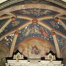
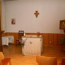
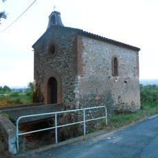
The name Força Réal comes from Catalan for "royal force", first recorded in 1322 as Castri de Força Real when the king of Majorca built a fortress here. The mountain was earlier called Mont Ner, "black mount", a name kept by the neighbouring village of Montner. The chapel on the western ridge is dedicated to the Virgin Mary, and the annual procession from Millas, begun in 1714 to ward off hail storms, still takes place.
You can reach the summit by car or follow a hiking trail that takes about four hours and includes informational panels about local nature. The best time to visit is during good weather when views extend farthest.
The summit's antenna mast, added in the 20th century, now relays radio signals across the Roussillon plain. It stands on the same rocky outcrop where a signal tower once formed part of the castle built after 1258, and its silhouette makes the peak easy to identify from the plain below.
The community of curious travelers
AroundUs brings together thousands of curated places, local tips, and hidden gems, enriched daily by 94,308 contributors worldwide.