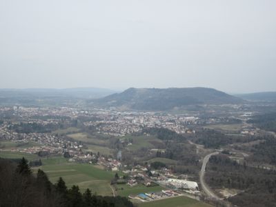
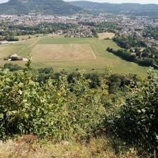
Mont Rivel, Limestone mountain summit in Jura, France
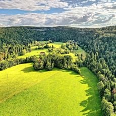
Mont Rivel is a limestone peak in the Jura region reaching about 812 meters in elevation. The summit displays the rocky formations typical of this mountain range's geology.
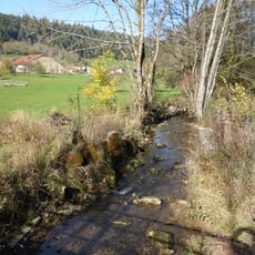
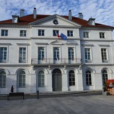
The mountain has served as a natural boundary that shaped settlement patterns throughout the Jura's development. Its position influenced where communities built and how resources moved through the region.
The summit serves as a natural landmark that locals recognize and use for orientation in the broader landscape. Visitors and residents alike experience the mountain as a gathering point for outdoor activities that connect them to the region's geography.
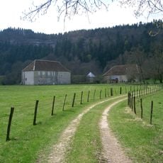
Hiking paths to the summit start from several nearby locations with designated parking for visitors. Routes are clearly marked with signs showing the way up the mountain at various difficulty levels.
The summit houses a seismic monitoring station that tracks Earth movement across France as part of the national observation network. This scientific facility operates continuously and is visible to hikers who reach the top.
The community of curious travelers
AroundUs brings together thousands of curated places, local tips, and hidden gems, enriched daily by 60,000 contributors worldwide.