Enable Location

We need your location to show you interesting places around you

Discover nearby places

Find interesting locations and hidden gems around you

Precise directions

Get accurate directions and distances to places

Your location is never shared with other users. It's only used when you tap the location button.

Quai Louis-Blériot

Log in to your account

Start exploring — it's free

Trusted by 63,069 travelers worldwide

Continue with Google
Continue with Apple
or

We will send you a code to connect

By continuing, you accept our Terms and Conditions and our Privacy Policy

Check your inbox

We've sent a pincode in your inbox. Please enter the code below.

Quai Louis-Blériot
Discussion Reviews 2 Photos
2.3k Popularity

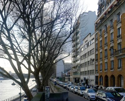
Quai Louis-Blériot, Riverside walkway in 16th arrondissement, France

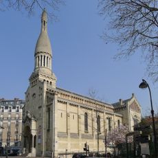
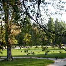
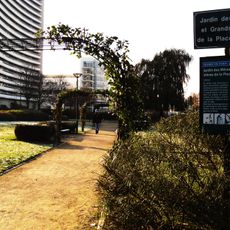
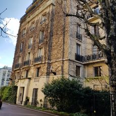
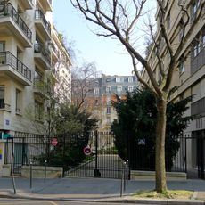
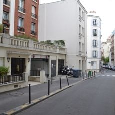
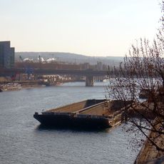
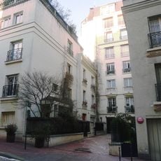
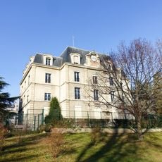
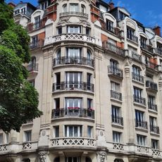
Quai Louis-Blériot is a 13-meter-wide riverside path extending roughly 1600 meters along the Seine in western Paris, serving both pedestrians and vehicles. The route connects residential areas with multiple parks and green spaces throughout the waterfront.

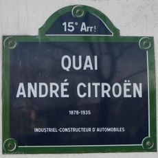
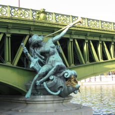
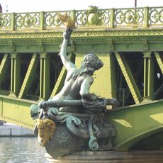
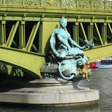
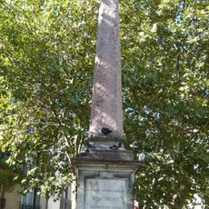
Originally called Quai d'Auteuil, it was renamed in 1937 to honor a French aviator who completed a historic flight across the English Channel. The name change reflected the city's recognition of aviation achievement during that era.

The waterfront forms a natural connection between the residential neighborhood and green spaces, where locals regularly walk, cycle, and jog. The path is woven into daily routines as a practical route through the district.

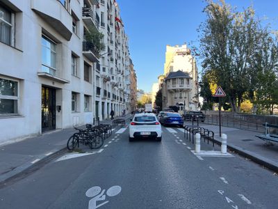
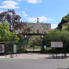
The area is easily reached by nearby metro stations offering quick connections to other parts of the city. The wide path accommodates various users comfortably whether you are walking, cycling, or stopping to rest.

The waterfront carries the name of a French aviation pioneer whose achievement marked a turning point in flight history, yet few visitors notice this tribute. The connection between the path and this extraordinary feat remains largely overlooked by daily users.

The community of curious travelers

AroundUs brings together thousands of curated places, local tips, and hidden gems, enriched daily by 60,000 contributors worldwide.

Start exploring
Location
Length
1,620 m
Width
13 m
Part of
road network of Paris
Shares border with
avenue de Versailles, avenue du Président-Kennedy, boulevard Exelmans, boulevard Murat, quai Saint-Exupéry, rue de Boulainvilliers, rue de l'Amiral-Cloué, rue Degas, rue Eugène-Poubelle, rue Fantin-Latour, rue Maurice-Bourdet, rue Van-Loo, rue Wilhem, Pont Mirabeau
GPS coordinates
48.84470,2.27211
Latest update
December 13, 2025 12:41
Reviews
Share your experience

No review yet

Discussions
Start a discussion...

No discussion yet

« Quai Louis-Blériot - Riverside walkway in 16th arrondissement, France » is provided by Around Us (aroundus.com). Images and texts are derived from Wikimedia project under a Creative Commons license. You are allowed to copy, distribute, and modify copies of this page, under the conditions set by the license, as long as this note is clearly visible.

Discover hidden gems everywhere you go!

From secret cafés to breathtaking viewpoints, skip the crowded tourist spots and find places that match your style. Our app makes it easy with voice search, smart filtering, route optimization, and insider tips from travelers worldwide. Download now for the complete mobile experience.

Around Us App Screenshot

A unique approach to discovering new places

Le Figaro

All the places worth exploring

France Info

A tailor-made excursion in just a few clicks

20 Minutes

Around Us
Travel Guide & Maps
Download

Send to your phone

QR Code
1

Open the camera app on your mobile.

2

Point at the QR code with your camera. A notification will appear.

3

Tap the notification to open the link.