Quai d'Orléans

Log in to your account

AroundUs is a community-driven map of interesting places, built by curious explorers like you. It grows with every review, story, and photo you share.
Connect to save your favorite spots, contribute locations, and create personalized routes.
Continue with Google
Continue with Apple
Continue with X
Continue with Facebook
Continue with email
By continuing, you accept our Terms and Conditions and our Privacy Policy
Create an account

Quai d'Orléans

Add to collection
Map
Suggest a change
Share

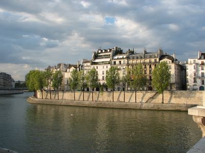
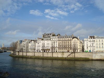
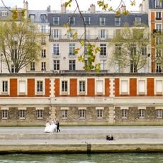
Quai d'Orléans, Historic riverfront in 4th arrondissement, France.

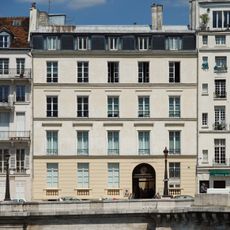
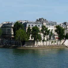
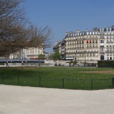
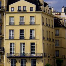
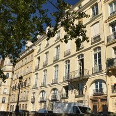
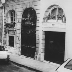
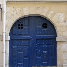
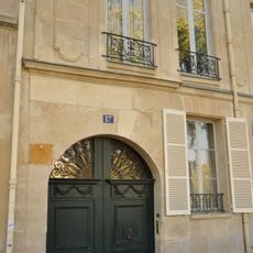
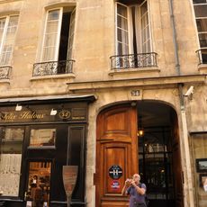
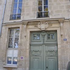
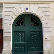
Quai d'Orléans runs along the Seine on the southern edge of Île Saint-Louis, stretching between two major bridges and creating a path about 7.6 meters wide. The riverfront is lined with 17th-century mansions that reflect the architectural style of Paris's classical period.

This waterfront was established in the 17th century as part of the urban development of Île Saint-Louis. During the French Revolution, it briefly took the name Quai de l'Égalité, reflecting the political ideals of that turbulent era.

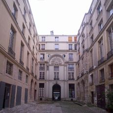
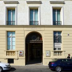
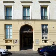
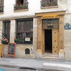
The Polish Library at number 6 has served as a cultural anchor since 1854, attracting visitors interested in Polish literary and artistic traditions. Inside, the Adam Mickiewicz Museum preserves manuscripts and objects connected to the renowned Polish poet and writer.

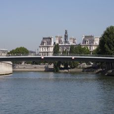
The pathway runs right along the water's edge and offers views of the Seine and surrounding neighborhoods. The nearest Metro station is Pont Marie on Line 7, making the location easy to reach.

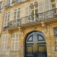
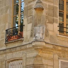
Several houses here, particularly numbers 28, 30, and 32, were built in 1663 by architect Marcelin Arnaud and showcase exceptional craftsmanship. Their facades are officially protected as historical monuments, making them remarkable examples of classical Parisian construction.

Location: 4th arrondissement of Paris

Location: Quartier Notre-Dame

Inception: 1614

Length: 275 m

Width: 7.6 m

Part of: road network of Paris

Shares border with: quai de Béthune, rue Boutarel, rue Budé, rue des Deux-Ponts, rue Jean-du-Bellay, rue Le Regrattier, Pont de la Tournelle

GPS coordinates: 48.85220,2.35361

Latest update: December 12, 2025 17:48

Photos
Reviews

Visited this place? Tap the stars to rate it and share your experience / photos with the community! Try now! You can cancel it anytime.

« Quai d'Orléans - Historic riverfront in 4th arrondissement, France » is provided by Around Us (aroundus.com). Images and texts are derived from Wikimedia project under a Creative Commons license. You are allowed to copy, distribute, and modify copies of this page, under the conditions set by the license, as long as this note is clearly visible.

Discover hidden gems everywhere you go!

From secret cafés to breathtaking viewpoints, skip the crowded tourist spots and find places that match your style. Our app makes it easy with voice search, smart filtering, route optimization, and insider tips from travelers worldwide. Download now for the complete mobile experience.

Around Us App Screenshot

A unique approach to discovering new places

Le Figaro

All the places worth exploring

France Info

A tailor-made excursion in just a few clicks

20 Minutes