Seuil du Poitou, Geological plateau in New Aquitaine, France
Seuil du Poitou is a low natural threshold in New Aquitaine that separates the Paris Basin to the north from the Aquitaine Basin to the south. The land forms a gentle ridge that acts as a drainage divide between three major river systems flowing in different directions.
Seuil du Poitou has been used as a travel corridor since ancient times, long before the roads that cross it today were built. Medieval merchants and pilgrims heading to Santiago de Compostela passed through here because the terrain offered no major barriers.
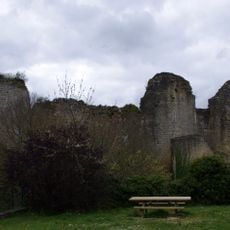
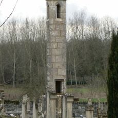
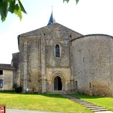
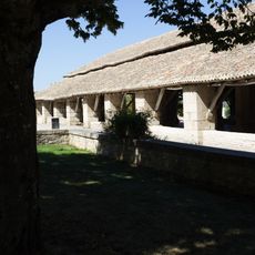
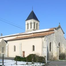
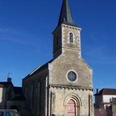
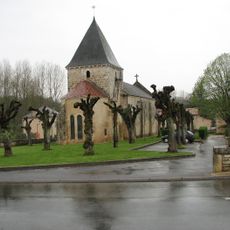
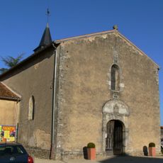
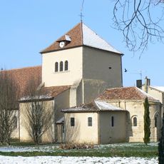
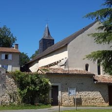
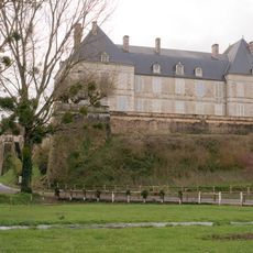
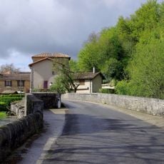
The way land is farmed here follows methods passed down through generations, shaping how rural communities live and work today. You can see this traditional approach reflected in the fields and villages scattered across the plateau.
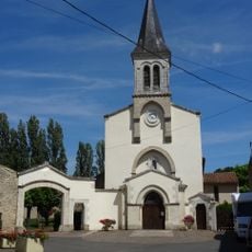
The area is easy to reach by car along the main road connecting Poitiers and Niort, and the flat terrain makes driving or cycling through it straightforward. Stopping in one of the small villages along the way gives a good sense of how the land is used and how the countryside changes gradually.
Rain that falls just a few meters apart on this ridge can end up in three completely different rivers, one flowing toward the Loire, another toward the Garonne, and a third toward the Charente. This triple drainage divide is rare for a landform so low and so flat.
The community of curious travelers
AroundUs brings together thousands of curated places, local tips, and hidden gems, enriched daily by 60,000 contributors worldwide.