Site des trois bornes

Log in to your account

AroundUs is a community-driven map of interesting places, built by curious explorers like you. It grows with every review, story, and photo you share.
Connect to save your favorite spots, contribute locations, and create personalized routes.
By continuing, you accept our Terms and Conditions and our Privacy Policy

Site des trois bornes

Add to collection
Map
Suggest a change
Share

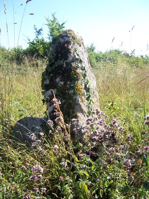
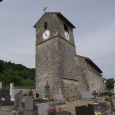
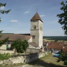
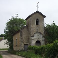
Site des trois bornes, Tripoint marker between Mont-l'Étroit, Clérey-la-Côte and Sauvigny departments, France.

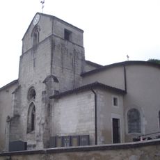
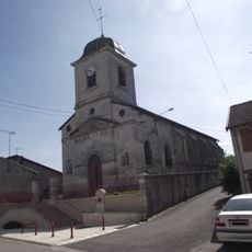
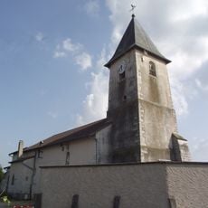
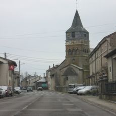
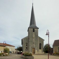
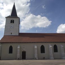
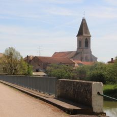
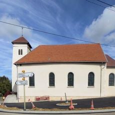
The site des trois bornes is a boundary marker located at the convergence of Mont-l'Étroit, Clérey-la-Côte, and Sauvigny departments. This tripoint location sits in the Grand Est region and is precisely identified by geographical coordinates.

The marker was established as part of France's long tradition of demarcating boundaries between administrative regions. These territorial divisions developed over centuries and form the foundation of how the country organizes its land.

The site shows how France marks administrative boundaries with physical markers that remain part of local identity. For the surrounding communities, these stone monuments serve as reference points that connect to their sense of territorial organization.

The site is accessible via local paths and provides clear orientation points in the surrounding landscape. Visitors should wear sturdy footwear as the terrain is rural and accessibility varies with the season.

This spot marks where exactly three departments meet, making it a relatively rare occurrence across Europe. Such triple boundaries required precise historical surveys and agreements between neighboring administrative regions.

Location: Mont-l'Étroit

Location: Clérey-la-Côte

Location: Sauvigny

Part of: political border

GPS coordinates: 48.49670,5.76528

Latest update: December 14, 2025 17:02

Photos
Around this place
Château de Montbras
France

Château de Montbras

6.2 km
Chapelle Saint-Gibrien
France

Chapelle Saint-Gibrien

2.3 km
Autreville Airdrome
France

Autreville Airdrome

6.1 km
Chapelle Notre-Dame-des-Gouttes d'Housselmont
France

Chapelle Notre-Dame-des-Gouttes d'Housselmont

6.6 km
Réserve naturelle régionale des éboulis et pelouses calcaires de Pagny-la-Blanche-Côte et Champougny
France

Réserve naturelle régionale des éboulis et pelouses calcaires de Pagny-la-Blanche-Côte et Champougny

6.6 km
Église Saint-Martin de Vannes-le-Châtel
France

Église Saint-Martin de Vannes-le-Châtel

5.7 km
Saints Gervasius and Protasius Church
France

Saints Gervasius and Protasius Church

5.7 km
Église Saint-Martin de Saulxures-lès-Vannes
France

Église Saint-Martin de Saulxures-lès-Vannes

4.6 km
Église Saint-Pierre-Saint-Paul d'Allamps
France

Église Saint-Pierre-Saint-Paul d'Allamps

6.6 km
Église Saint-Gengoult de Taillancourt
France

Église Saint-Gengoult de Taillancourt

6.6 km
Église Notre-Dame-de-la-Nativité-et-de-la-Vierge de Barisey-au-Plain
France

Église Notre-Dame-de-la-Nativité-et-de-la-Vierge de Barisey-au-Plain

6.5 km
Église Saint-Brice d'Autreville
France

Église Saint-Brice d'Autreville

6.3 km
Église Saint-Remy de Mont-l'Étroit
France

Église Saint-Remy de Mont-l'Étroit

1.6 km
Église Saint-Léger de Burey-la-Côte
France

Église Saint-Léger de Burey-la-Côte

4.9 km
Église de l'Assomption-de-Notre-Dame de Maxey-sur-Meuse
France

Église de l'Assomption-de-Notre-Dame de Maxey-sur-Meuse

7.1 km
Église Sainte-Marie-Madeleine de Brixey-aux-Chanoines
France

Église Sainte-Marie-Madeleine de Brixey-aux-Chanoines

4.5 km
Église Saint-Grégoire-le-Grand de Pagny-la-Blanche-Côte
France

Église Saint-Grégoire-le-Grand de Pagny-la-Blanche-Côte

6 km
Église Saint-Eucharie de Jubainville
France

Église Saint-Eucharie de Jubainville

4.5 km
Église Saint-Mathieu de Clérey-la-Côte
France

Église Saint-Mathieu de Clérey-la-Côte

1.6 km
Église Saint-Léger de Martigny-les-Gerbonvaux
France

Église Saint-Léger de Martigny-les-Gerbonvaux

6.1 km
Église Saint-Brice d'Harmonville
France

Église Saint-Brice d'Harmonville

7.2 km
Église Saint-Élophe de Punerot
France

Église Saint-Élophe de Punerot

3.6 km
Église Saint-Loup de Sauvigny
France

Église Saint-Loup de Sauvigny

3.7 km
Église Saint-Gengoult de Ruppes
France

Église Saint-Gengoult de Ruppes

2.9 km
Chapelle Saint-Nicolas de Graux
France

Chapelle Saint-Nicolas de Graux

7.2 km
Chapelle Notre-Dame-des-Sept-Douleurs de Pagny-la-Blanche-Côte
France

Chapelle Notre-Dame-des-Sept-Douleurs de Pagny-la-Blanche-Côte

6 km
Château de Goussaincourt
France

Château de Goussaincourt

5.6 km
Château de Burey-la-Côte
France

Château de Burey-la-Côte

4.8 km
Show the full map
Reviews

Visited this place? Tap the stars to rate it and share your experience / photos with the community! Try now! You can cancel it anytime.

« Site des trois bornes - Tripoint marker between Mont-l'Étroit, Clérey-la-Côte and Sauvigny departments, France » is provided by Around Us (aroundus.com). Images and texts are derived from Wikimedia project under a Creative Commons license. You are allowed to copy, distribute, and modify copies of this page, under the conditions set by the license, as long as this note is clearly visible.

Discover hidden gems everywhere you go!

From secret cafés to breathtaking viewpoints, skip the crowded tourist spots and find places that match your style. Our app makes it easy with voice search, smart filtering, route optimization, and insider tips from travelers worldwide. Download now for the complete mobile experience.

Around Us App Screenshot

A unique approach to discovering new places

Le Figaro

All the places worth exploring

France Info

A tailor-made excursion in just a few clicks

20 Minutes