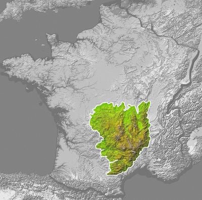
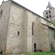
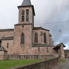
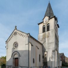
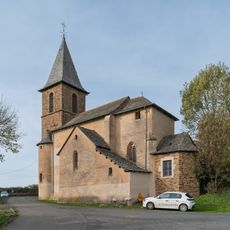
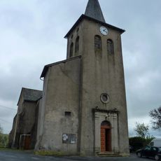
Ségala, Upland region in southern Occitanie, France.
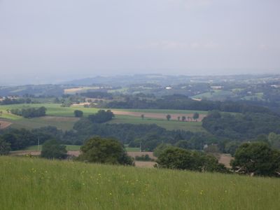
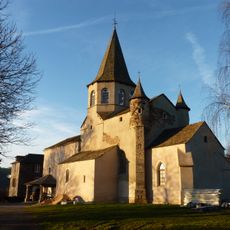
Ségala is an upland region in southern France that rises between 200 and 800 meters, shaped by deep valleys and river corridors including the Viaur and Aveyron. Rolling pastures, scattered woodland, and small settlements create a layered landscape where elevation changes gradually across the terrain.
Nineteenth-century railways transformed the region by enabling the transport of lime to amend acidic soils and restore their fertility. This infrastructure connection opened the area to specialized farming and wider market access.
Village markets throughout the region display local cheeses, produce, and crafted goods that reflect generations of farming knowledge. These gathering places show how agriculture remains woven into daily life and community traditions.
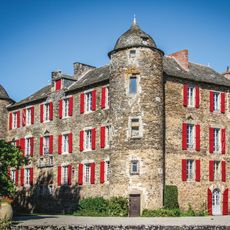
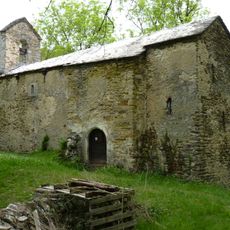
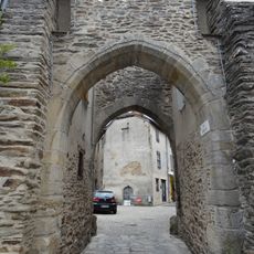
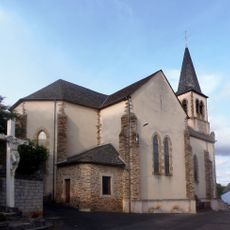
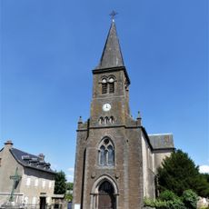
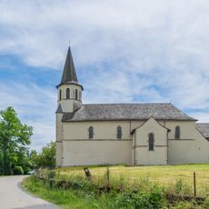
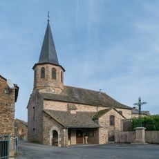
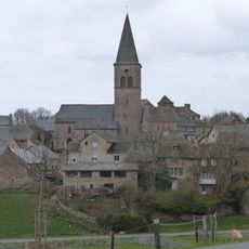
Marked trails link small villages like Baraqueville, Belcastel, and Sauveterre-de-Rouergue across the region's varied terrain. Spring through autumn offers the most reliable conditions for exploring the valleys and hillsides at your own pace.
The terrain contains roughly a hundred separate valleys whose ridges are covered in pastureland for raising high-quality beef cattle adapted to the region. This unusual concentration of valleys creates pockets where livestock farming remains linked to the landscape itself.
The community of curious travelers
AroundUs brings together thousands of curated places, local tips, and hidden gems, enriched daily by 60,000 contributors worldwide.