Tête des Perches, Mountain summit in Grand Est, France.
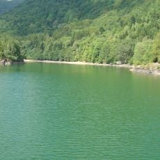
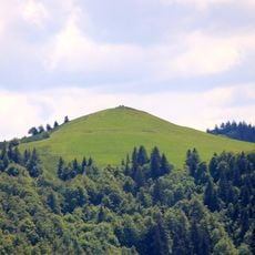
Tête des Perches is a granite peak in the Vosges mountains that rises to 1,222 meters (4,010 feet) above sea level. The summit displays three distinct rock faces, with one side curving inward to overlook a lake below.
The mountain's name changed over centuries, from Seefelsen in 1220 to Ternenseekopf in 1550. These shifts reflect how people's understanding of the place and its connection to nearby lakes evolved over time.
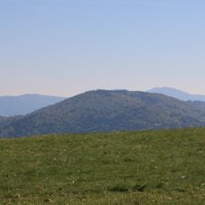
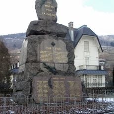
The mountain sits where three villages meet and shapes how people in this region see their landscape. Locals use it as a landmark and gathering point for outdoor activities.
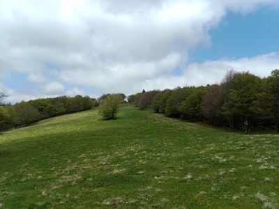
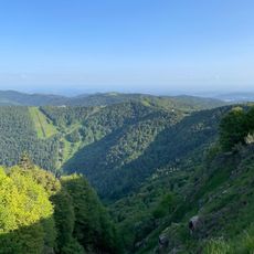
The summit is reachable by marked hiking trails starting from Rouge Gazon station at 1,090 meters (3,575 feet) elevation. A complete loop route is available that takes you through different sections of the area.
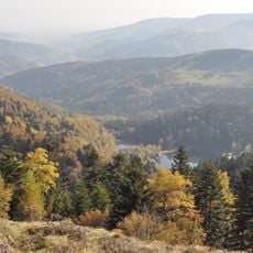
At this summit, several river systems meet: the Doller, Thur, and Charbonniers streams form a major watershed. This hydrological divide shapes the geology and drainage patterns you can observe from the peak.
The community of curious travelers
AroundUs brings together thousands of curated places, local tips, and hidden gems, enriched daily by 60,000 contributors worldwide.