Vincin, Protected natural area and river in Vannes, France
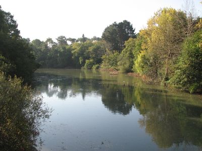
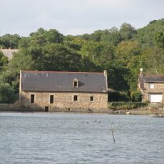
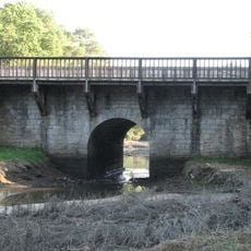
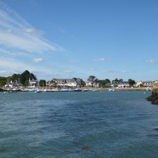
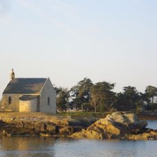
Vincin is a protected river flowing through Vannes that passes through the Morbihan area and empties into the Gulf of Morbihan. The waterway includes tributaries and surrounding land managed to keep the natural environment intact while allowing people to visit and explore.
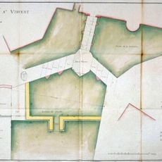
The river once had a different spelling and historically marked a boundary between two towns while supporting farms in the region. During the 1900s, the waterway stopped being used for agriculture and was eventually protected as a nature preserve.
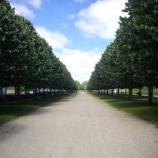
The river serves as a place where locals and visitors walk along the banks to experience the natural environment away from the city. People come here to observe wildlife and spend time in a green space that feels separate from everyday life.
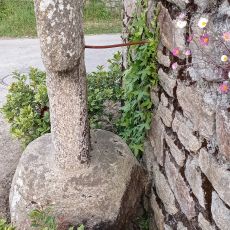
You can walk along paths that follow the tributaries through the protected area, which are generally easy to navigate. The terrain offers good spots for watching birds and other wildlife without needing special equipment or technical skills.
The landscape changes noticeably with the tides, showing salt-loving plants at high water and mudflats when the tide is low. Watching this shift gives you a sense of how the ecosystem adapts to the constant movement of the water.
The community of curious travelers
AroundUs brings together thousands of curated places, local tips, and hidden gems, enriched daily by 60,000 contributors worldwide.