Île Agot, Historical island in Saint-Briac-sur-Mer, France
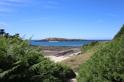
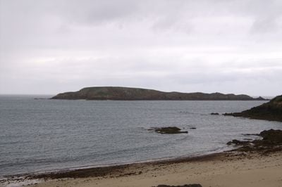
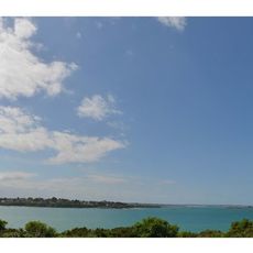
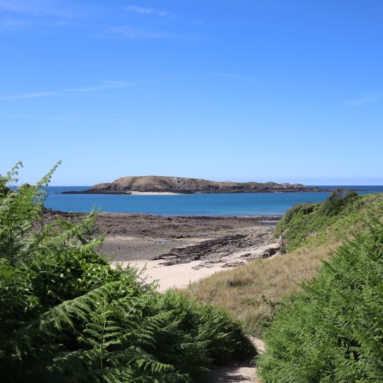
Île Agot is a low, elongated rocky island about 600 metres long and up to 270 metres wide, lying some 600 metres off Saint-Briac-sur-Mer in Ille-et-Vilaine. Its flat top of brown and tan grass rises gently on the left, where a pale rounded rock outcrop sits above a light sandy spit; dark rock forms the narrow base at the waterline.
The island holds traces of a Gallic dwelling from the end of the La Tène period, identified through archaeological work. It was inscribed as a monument historique by decree on 13 June 1975.
The island's protected status, granted on 13 June 1975, covers its protohistoric remains, including a Gallic dwelling from the end of the La Tène period. The name Agot is also found in Breton as Enez Agot, the form used on Breton-language maps of the coast.
The island lies about 600 metres off Saint-Briac-sur-Mer and has no regular boat service or landing point; it is uninhabited and rocky, so it is seen from the mainland. From the shore look for the pale sandy spit at its left end and the small rounded rock outcrop on the left slope.
In the 1960s the Scouts de France held survival courses on the island. Participants had to locate one of its two or three freshwater springs and feed themselves on limpets (arapèdes) and winkles gathered from the rocks. The island is uninhabited and rocky, about 600 m long and up to 270 m wide, lying 600 m off Saint-Briac-sur-Mer.
The community of curious travelers
AroundUs brings together thousands of curated places, local tips, and hidden gems, enriched daily by 93,787 contributors worldwide.