Monte Grammondo, Mountain summit in Liguria, Italy
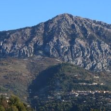
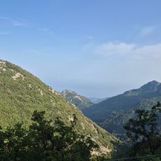
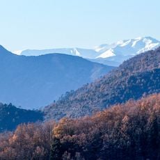
Mont Grammont is a summit in Liguria that rises to 1,378 meters above sea level and forms a natural border between Italy's Imperia province and France's Alpes-Maritimes department. Its position makes it a distinctive landmark where the landscape on both sides creates a clear geographical division.
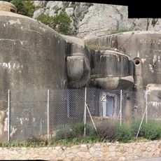
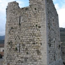
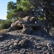
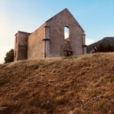
Military barracks from World War II remain on the northeastern slope, marking the mountain's strategic importance during the conflict. These remnants show how the location served as a key defensive position between two nations.
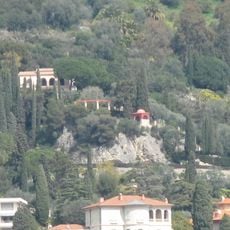
The name reflects local linguistic roots from 'gran monte' and reveals the shared heritage of communities on both sides of the border. Villagers and visitors encounter this blend of Italian and French influence through local customs and ways people use the mountain for daily life and recreation.
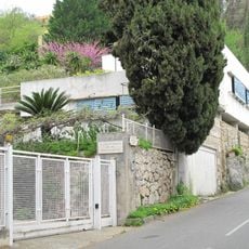
Several hiking routes start from villages like Sospel, Olivetta, Torri, San Pancrazio, and Villatella and lead toward the summit. Each path has its own character and difficulty, so visitors should choose based on their fitness level and time available.
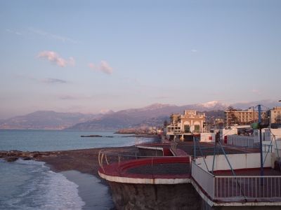
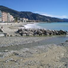
The summit lies just 6 kilometers from the Mediterranean Sea and offers views of both the Ligurian and French Riviera despite its moderate height. This surprising closeness to the coast makes the location particularly rewarding for visitors seeking both mountain and seaside experiences.
The community of curious travelers
AroundUs brings together thousands of curated places, local tips, and hidden gems, enriched daily by 60,000 contributors worldwide.