Mount Tournairet, Mountain summit in Alpes-Maritimes, France
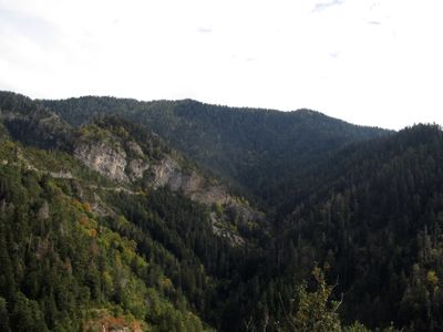
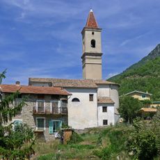
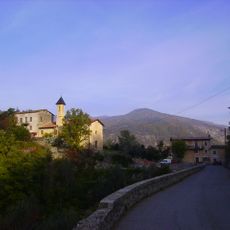
Mount Tournairet is a mountain summit in the Alpes-Maritimes standing at about 2,100 meters and positioned between the municipalities of Clans, Venanson, and Utelle. Forests cover much of the peak, especially on its western side, where vegetation transitions between Mediterranean and alpine zones.
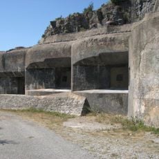
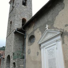
This summit long served as a natural boundary between different communities, and stone markers from these ancient borders still remain visible along old paths. Its role as a geographical dividing point shaped how local jurisdictions developed over time.
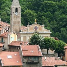
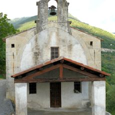
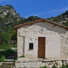
The paths crossing this summit have long connected isolated villages in the high valleys, shaping how mountain communities lived and interacted. Local people still use these routes to visit nearby settlements and maintain ties across the ridges.
Hikers can reach the summit via marked trails, though the ascent demands physical fitness and proper mountain equipment. It's best to visit during warmer months and bring plenty of water and maps for navigation.
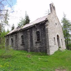
The western slope hosts a state forest where hikers pass through shifting woodland ecosystems that feel wild and untouched. This forested area offers chances to spot regional wildlife and plant species rarely seen elsewhere in the region.
The community of curious travelers
AroundUs brings together thousands of curated places, local tips, and hidden gems, enriched daily by 60,000 contributors worldwide.