
Pierre plantée du Planal de la Coma del Llop, menhir in Vingrau, France
Location: Vingrau
Elevation above the sea: 223.5 m
GPS coordinates: 42.83778,2.81861
Latest update: March 30, 2025 20:56
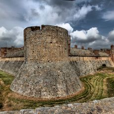
Fort de Salses
8.1 km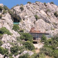
Arago cave
5.2 km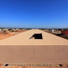
Mémorial du camp de Rivesaltes
6.8 km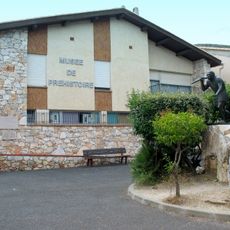
Musée de Préhistoire de Tautavel
6.1 km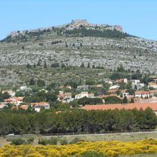
Château de La Salveterra
5.5 km
Tour del Far
5.9 km
EcoZonia
6.8 km
Château de Périllos
7 km
Château de Tautavel
6.5 km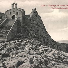
Ermitage Notre-Dame-de-Pène
8 km
Église Sainte-Marie d'Espira-de-l'Agly
6.8 km
Église Saint-Michel de Périllos
7 km
Sant Llorenç del Castell d'Òpol
5.6 km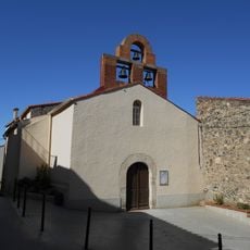
Église Sainte-Colombe de Cases-de-Pène
7 km
Château de Pène
8 km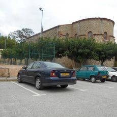
Église Notre-Dame de l'Assomption de Vingrau
3.6 km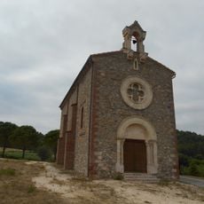
Chapelle des Saintes Puelles
7.8 km
Vila Reial de Salvaterra
5.6 km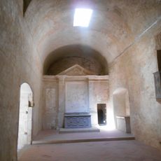
Sant Sebastià del Castell de Salses
8.1 km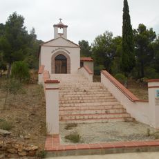
Chapelle Notre-Dame-du-Bon-Conseil de Vingrau
3.2 km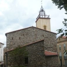
Église Saint-Génis de Tautavel
6.6 km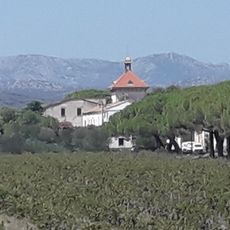
Mas d'en Fages
7.2 km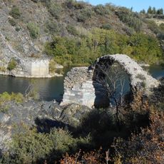
Pont de l'Aglí
5.9 km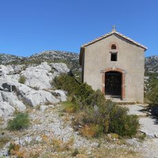
Chapelle Sainte-Barbara de Périllos
7.4 km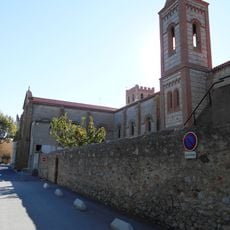
Institution Notre-Dame-des-Anges de Espira-de-l'Agly
6.7 km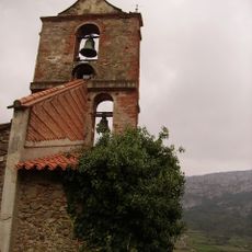
Ancienne église Notre-Dame de l'Assomption de Vingrau
3.5 km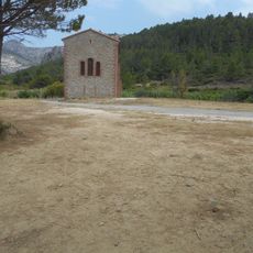
Les Santes Puelles
7.8 km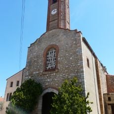
Église Saint-Laurent d'Opoul
5.7 kmReviews
Visited this place? Tap the stars to rate it and share your experience / photos with the community! Try now! You can cancel it anytime.
Discover hidden gems everywhere you go!
From secret cafés to breathtaking viewpoints, skip the crowded tourist spots and find places that match your style. Our app makes it easy with voice search, smart filtering, route optimization, and insider tips from travelers worldwide. Download now for the complete mobile experience.

A unique approach to discovering new places❞
— Le Figaro
All the places worth exploring❞
— France Info
A tailor-made excursion in just a few clicks❞
— 20 Minutes