Réseau du Rupt-du-Puits, Underground cave system in Beurey-sur-Saulx, France
The Réseau du Rupt-du-Puits is a natural cave system of more than 17 km of surveyed galleries beneath three communes in the Grand Est, the largest in the Paris Basin. Its non-flooded part consists of a main gallery, the collecteur A.S.P.R.P., with tributaries such as the affluent des Dents de requins, and it links upstream to the gouffre de la Béva. The total drop is 53 m, from 213 m at the Béva to 160 m at the vasque du Rupt-du-Puits.
In 1962 François Descaves flagged the Rupt-du-Puits resurgence as worth diving. In summer 1966 Bertrand Léger cleared the flooded entrance at a depth of 7 metres, and on 15 November 1971 Jean-Louis Camus and Gérard Paquin passed the downstream siphon (−4 m, 445 m long). The next day Jacky Bourgin and Patrice Lucion explored 1.7 km upstream, and within two years the team had mapped 10,650 m.
The network's galleries are named after what explorers found or did there: the Dents de requins gallery holds many shark teeth, and the main drain is called collecteur A.S.P.R.P. after the Association des spéléo-plongeurs du Rupt-du-Puits, founded in 1973. Fossils from the network are displayed in Jean-Luc Armanini's private museum at L'Isle-en-Rigault.
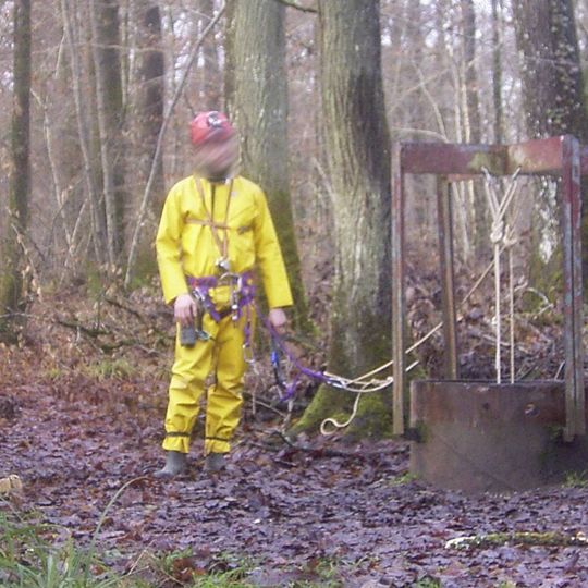
Access requires obtaining a key through agreements with local speleology groups and the National Forest Office. Visitors should contact these organizations in advance to arrange entry.
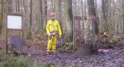
The Béva is a gouffre, a natural shaft, not a grotto: it lies at 213 m altitude in Trois-Fontaines (Marne), while the Rupt-du-Puits basin sits at 160 m, a drop of 53 m. Belgian diver Michel Pauwels linked the two between 2000 and 2003, adding the upstream entrance to the system.
The community of curious travelers
AroundUs brings together thousands of curated places, local tips, and hidden gems, enriched daily by 93,246 contributors worldwide.