Parc de Beaulieu, Public park in eastern Île de Nantes, France
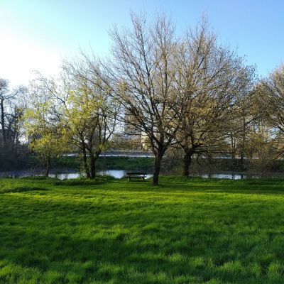
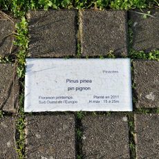
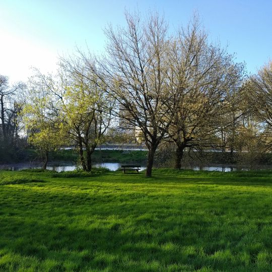
Parc de Beaulieu is a public park on the eastern side of the Île de Nantes along the Loire River. It features walking paths, children's playgrounds, natural meadows with local plants, a zipline, and multiple seating areas with river views.
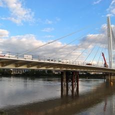
Before the 1960s, the former Île Beaulieu was mostly meadowland. The opening of a second line of bridges allowed urbanisation around Boulevard Général-De-Gaulle, and the eastern tip, exposed to Loire floods, was turned into a park. It covers 13.37 hectares and is crossed by the Pont de la Vendée carrying the Nantes–Saintes railway.
The park takes its name from the former Île Beaulieu, on whose upstream end it lies. Its CRAPA (Circuit Rustique d'Activités Physiques Aménagé) is a laid-out fitness circuit, and joggers are its most visible users. The Vendée bridge, carrying the Nantes–Saintes railway line, crosses the eastern part of the grounds.
The park covers 13.37 hectares at the upstream tip of the Île de Nantes, between the Madeleine arm to the north and the Pirmil arm to the south, near the Hôtel de Région. The Vendée bridge, carrying the Nantes–Saintes railway line, crosses its eastern part. A CRAPA fitness circuit runs through the grounds and draws many joggers.
The park covers 13.37 hectares at the upstream tip of the Île de Nantes, between the Madeleine arm to the north and the Pirmil arm to the south. The Vendée bridge, carrying the Nantes–Saintes railway line, crosses its eastern part. A CRAPA (Circuit Rustique d'Activités Physiques Aménagé) laid out in the park draws many joggers.
The community of curious travelers
AroundUs brings together thousands of curated places, local tips, and hidden gems, enriched daily by 93,113 contributors worldwide.