Puig de la Clapa, Mountain peak in Prats-de-Mollo-la-Preste, France.
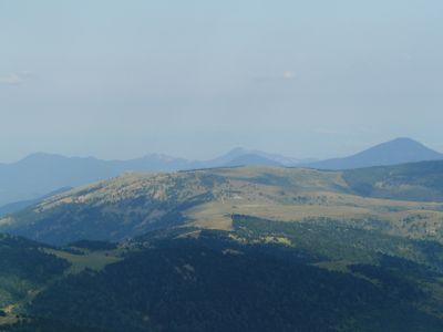
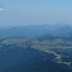
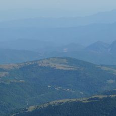
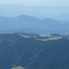
Puig de la Clapa is a mountain peak in the eastern Pyrenees that rises to 1614 meters and forms a natural boundary between Spain and France. The summit has a distinctive shape and can be seen from various viewpoints across the region.
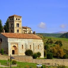
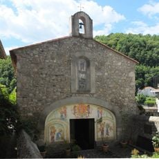
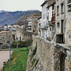
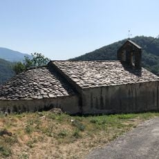
The mountain was formed through geological processes in the Pyrenees and served as a natural border marker between two nations for centuries. This border location shaped the development of the mountain region and nearby settlements.
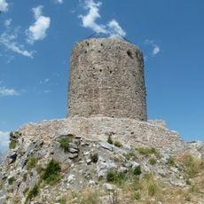
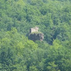
The mountain paths contain numerous stone markers and boundary posts that reflect the historical demarcation between French and Spanish territories. These features tell the story of centuries-long border definition and remain visible to hikers today.
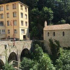
The summit is accessible via several marked trails starting from Prats-de-Mollo-la-Preste, offering different difficulty levels for various hikers. Spring and autumn provide the best hiking conditions with milder weather and clear visibility.
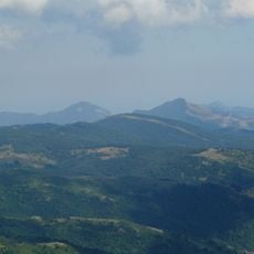
On clear days, the summit offers sweeping views into both countries, revealing strikingly different landscapes below. This vantage point shows how the vegetation and terrain shift noticeably between the French and Spanish slopes.
The community of curious travelers
AroundUs brings together thousands of curated places, local tips, and hidden gems, enriched daily by 60,000 contributors worldwide.