
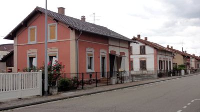
Cité ouvrière d'Erstein, human settlement in France
Location: Erstein
Address: rue Général-Leclerc
GPS coordinates: 48.41983,7.65948
Latest update: March 11, 2025 15:07
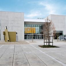
Musée Würth France Erstein
2.2 km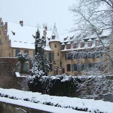
Château d'Osthouse
2.7 km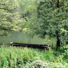
Erstein Forest National Nature Reserve
4.9 km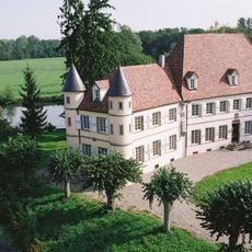
Château de Werde
3.9 km
Église Saint-Martin d'Erstein
308 m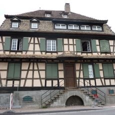
Maison, 24 rue de Strasbourg
577 m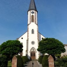
Église Saint-Guillaume
5.2 km
Bowling Palace
3.4 km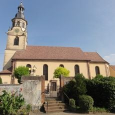
Église Saint-Barthélémy d'Osthouse
2.5 km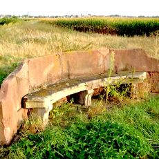
Banc-reposoir d'Erstein
1.8 km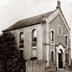
Erstein synagogue
441 m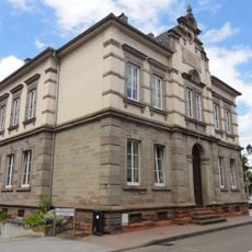
Ancien tribunal cantonal
348 m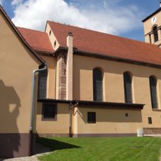
Église Saint-Martin de Sand
5.3 km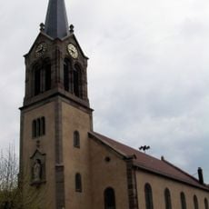
Église Saint-Martin de Bolsenheim
3.7 km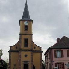
Église Saint-Sigismond de Matzenheim
3.8 km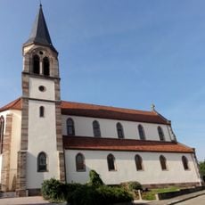
Église Saint-Denis
338 m
Église Saint-Denis de Limersheim
4.3 km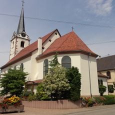
Église Saint-Pierre-et-Saint-Paul d'Uttenheim
4.8 km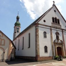
Église Saint-Michel de Nordhouse
3.2 km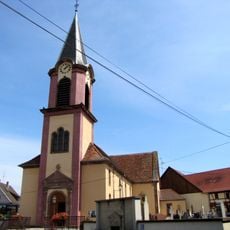
Église Saint-Léger de Schaeffersheim
2.8 km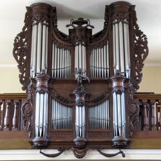
Orgue de tribune de l'église Saint-Michel de Nordhouse
3.2 km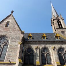
Église protestante d'Erstein
186 m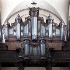
Pipe organ of Église Saint-Martin d'Erstein
308 m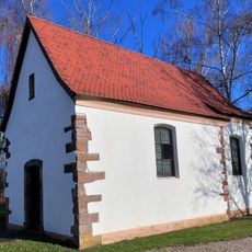
Chapelle Saint-Blaise de Schaeffersheim
3.5 km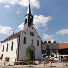
Chapelle Saint-Wendelin de Hipsheim
5.4 km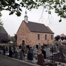
Chapelle Saint-Ludan de Nordhouse
3.2 km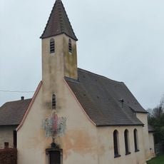
Chapelle de la Vierge de Krafft
3 km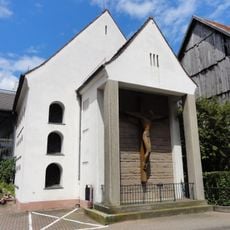
Chapelle de la maison de retraite d'Erstein
264 mVisited this place? Tap the stars to rate it and share your experience / photos with the community! Try now! You can cancel it anytime.
Discover hidden gems everywhere you go!
From secret cafés to breathtaking viewpoints, skip the crowded tourist spots and find places that match your style. Our app makes it easy with voice search, smart filtering, route optimization, and insider tips from travelers worldwide. Download now for the complete mobile experience.

A unique approach to discovering new places❞
— Le Figaro
All the places worth exploring❞
— France Info
A tailor-made excursion in just a few clicks❞
— 20 Minutes