Rue Saint-Denis, Historical street in Les Halles and Bonne-Nouvelle, Paris, France
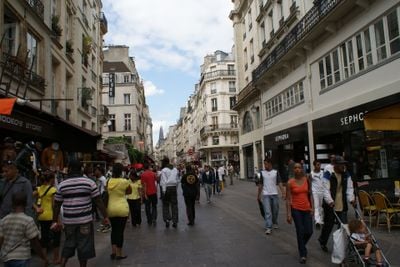
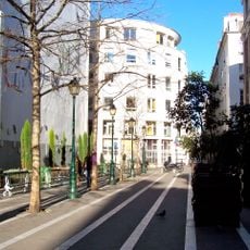
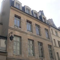
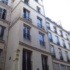
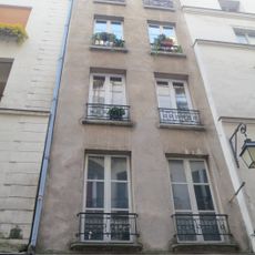
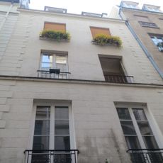
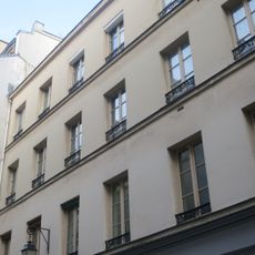
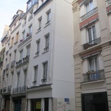
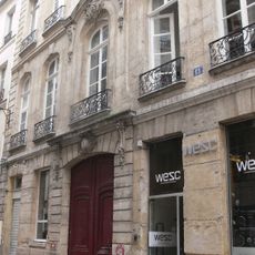
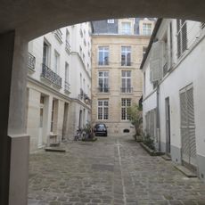
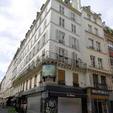
Rue Saint-Denis is a street running about 1.3 kilometers through the 1st and 2nd arrondissements, lined with residential buildings, shops, and restaurants. Its width of roughly 30 meters allows comfortable movement and space for daily foot traffic.
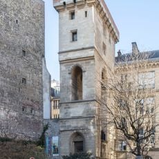
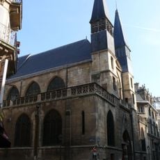
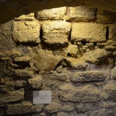
The street traces back to a Roman road from the 1st century that later served as a pilgrimage route to the Basilica of Saint-Denis. This long history as a major thoroughfare shaped its development into a central Parisian passage.
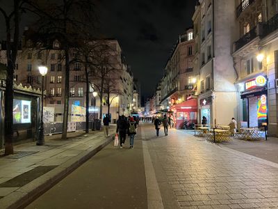
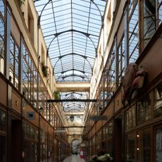
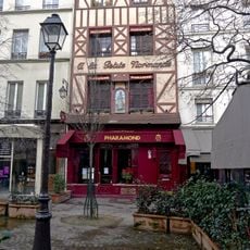
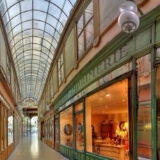
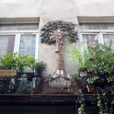
Today the street remains a busy shopping and entertainment district where locals and visitors move through shops, restaurants, and cinemas that define the neighborhood's character. The blend of commerce and social life shows how this place continues to serve as a gathering point for the city.
The street is served by several metro stations including Châtelet, Étienne Marcel, and Réaumur-Sébastopol, offering easy access along its length. You can walk the entire route comfortably since it is flat and pedestrian-friendly.
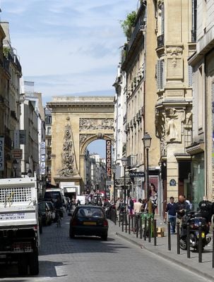
The street features the Gate of Saint-Denis, a grand stone arch commissioned by King Louis XIV in 1672 to mark the northern entrance to Paris. This striking monument remains one of the most recognizable features along the route.
The community of curious travelers
AroundUs brings together thousands of curated places, local tips, and hidden gems, enriched daily by 60,000 contributors worldwide.