Rocher de Cresta, Mountain summit in Saillans, France.
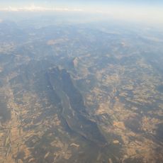
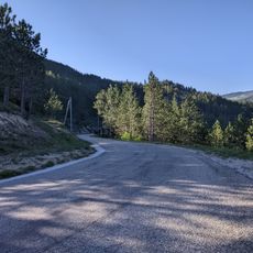
Rocher de Cresta is a mountain peak rising to 678 meters near Saillans with a distinctive ridge-like silhouette that dominates the local landscape. The summit can be reached on foot and offers views across the surrounding valleys and neighboring peaks.
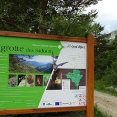
The area is part of a long-distance hiking network that has connected mountain communities across the region for many decades. These routes developed gradually as people traveled through the mountains for work and leisure over time.
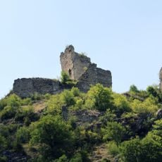
The summit serves as a meeting point for local and visiting hikers who gather to share stories about their mountain experiences. The place holds meaning for outdoor enthusiasts who view it as a natural landmark worth preserving for future generations.
The hike requires good fitness and proper mountain boots, especially on the steeper sections of the trail. Start early in the day and check weather conditions, as mountain weather can change rapidly throughout the afternoon.
The mountain has an unusual shape resembling a dorsal fin that creates a striking visual profile from certain angles. This distinctive form makes it easy to spot from distances and gives it a memorable appearance among neighboring peaks.
Elevation above the sea: 678 m
GPS coordinates: 44.67694,5.21306
Latest update: December 15, 2025 13:23
Forêt de Saoû
7.6 km
Château de Pontaix
9.1 km
Donjon de Lastic
11.5 km
Réserve naturelle régionale de la grotte des Sadoux
6.6 km
Borne milliaire de Saillans
2.6 kmÉglise Notre-Dame de Piégros-la-Clastre
9.4 km
Temple de Pontaix
9.1 km
Église Saint-Géraud de Saillans
2.5 km
Église Saint-Marcel de Montclar-sur-Gervanne
9.6 km
Église de Saint-Benoit-en-Diois
5 km
Monastère de Sainte-Croix
11.6 km
Chapelle du cimetière de Savel
7.1 km
Église Saint-Pierre-ès-Liens de Pradelle
9.9 km
Église de La Chaudière
5 km
Église Saint-Pierre de Rochefourchat
9.2 km
Église Saint-Sauveur de Saint-Sauveur-en-Diois
4.5 km
Église Sainte-Anne de Barsac
8.6 km
Église Saint-Jean de Manobre
5.9 km
Église Saint-Martin de Pontaix
9.2 km
Église de Montréal-les-Sources
11 km
Col de la Chaudière
5.7 km
Chapelle Saint-Moirans de Chastel-Arnaud
2.3 km
Chapelle Notre-Dame de l'Aribat
8.4 km
Château de Vachères
9.7 km
Temple de Pennes-le-Sec
9.3 km
Château de Piégros
9.1 km
Borne routière (borne milliaire) à Barsac
8.6 km
Col de Tavard
9.2 kmVisited this place? Tap the stars to rate it and share your experience / photos with the community! Try now! You can cancel it anytime.
Discover hidden gems everywhere you go!
From secret cafés to breathtaking viewpoints, skip the crowded tourist spots and find places that match your style. Our app makes it easy with voice search, smart filtering, route optimization, and insider tips from travelers worldwide. Download now for the complete mobile experience.
A unique approach to discovering new places❞
— Le Figaro
All the places worth exploring❞
— France Info
A tailor-made excursion in just a few clicks❞
— 20 Minutes