Cime des Collettes, Mountain summit in Provence-Alpes-Côte d'Azur, France
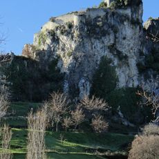
Cime des Collettes is a mountain peak in Provence-Alpes-Côte d'Azur that rises to 1,477 m (4,846 ft) and sits on the dividing line between the Var and Estéron river systems. The summit defines a natural boundary between two major watersheds in this Alpine region.
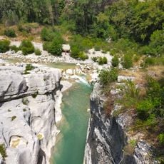
This mountain area has kept its natural character throughout the centuries with little impact from human development. The Estéron river flowing 1300 m (4,265 ft) below the peak continues to follow its original course unchanged.
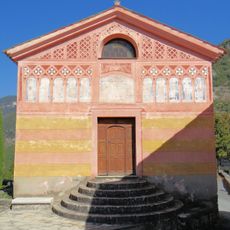
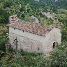
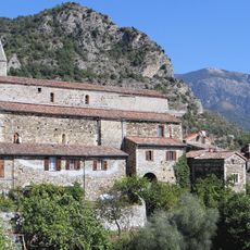
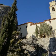
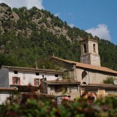
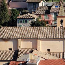
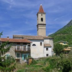
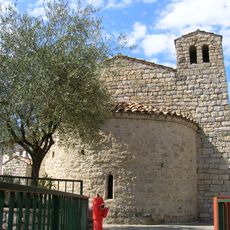
The villages surrounding the peak have created and maintained trail networks through the state forest over generations. These paths connect older settlements to current communities and show how local people have always moved through this mountainous terrain.
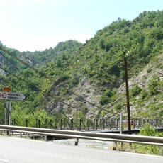
The peak is accessible via a marked T1 hiking trail with an elevation gain of about 550 m (1,800 ft) on the way up. The route is well-signposted and suited for hikers with basic mountain experience.
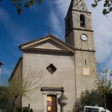
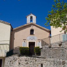
On clear days, visitors standing at the peak can see both the Mediterranean Sea and the Mercantour mountain range stretching across the horizon. Several perched villages built high on narrow ridges are also visible from this vantage point.
The community of curious travelers
AroundUs brings together thousands of curated places, local tips, and hidden gems, enriched daily by 60,000 contributors worldwide.