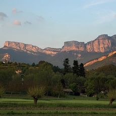
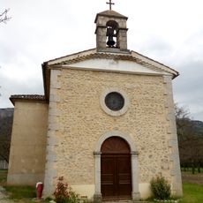
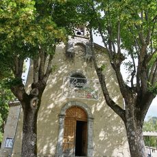
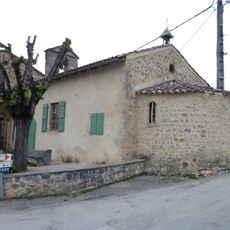
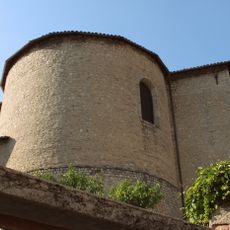
Pic de Luc, Mountain summit in Luc-en-Diois, France.
Pic de Luc rises to 1,038 meters elevation in the Drôme department, offering panoramic views across the surrounding Diois valley and nearby mountainous terrain from its accessible summit position.
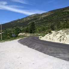
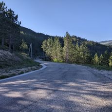
Pic de Luc is a 1,038-metre summit in the Drôme department, about 500 km north-east of Paris and 17.5 km north of the town of Die. The surrounding slopes are wooded, and the higher La Grésière peak lies 5.2 km to the south-west. The area is sparsely populated, with roughly two inhabitants per square kilometre.
The name Pic de Luc refers to the village of Luc-en-Diois, 17.5 km south of the summit. The surrounding slopes are wooded, mainly with oaks, and the area is sparsely populated, with about two inhabitants per square kilometre. The climate is hemiboreal, with an average of 9 °C and December lows around -2 °C.
Hikers can reach the summit via marked trails starting from Luc-en-Diois village center, following yellow triangle markers for approximately 90 minutes of moderate difficulty hiking with proper equipment recommended year-round.
The summit stands 1,038 metres above sea level, about 500 km north-east of Paris. La Grésière, at 1,471 metres, rises 5.2 km to the south-west, and the town of Die lies 17.5 km to the south. The slopes around the peak are wooded, and the area is sparsely populated, with roughly two inhabitants per square kilometre.
The community of curious travelers
AroundUs brings together thousands of curated places, local tips, and hidden gems, enriched daily by 93,182 contributors worldwide.