Chest opened
+${chestReward.xp} XP
Explorer
NOUVEAU ×${chestReward.collectible.quantity}
tapez pour fermer
Chest locked

Open chests in the app

Around Us is built for your phone — chests unlock when you walk, explore and capture nearby places.

Enable Location

We need your location to show you interesting places around you

Discover nearby places

Find interesting locations and hidden gems around you

Precise directions

Get accurate directions and distances to places

Your location is never shared with other users. It's only used when you tap the location button.

Log in to your account

Start exploring — it's free

Trusted by 73,027 travelers worldwide

Continue with Google
Continue with Apple
or

We will send you a code to connect

By continuing, you accept our Terms and Conditions and our Privacy Policy

Check your inbox

We've sent a pincode in your inbox. Please enter the code below.

Sommet de Montgelas
Discussion Reviews Photo
20+ Popularity

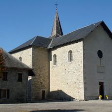
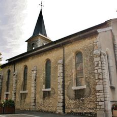
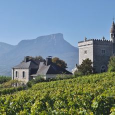
Sommet de Montgelas, Mountain summit in Chignin, France

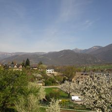
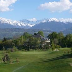
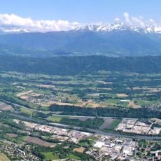
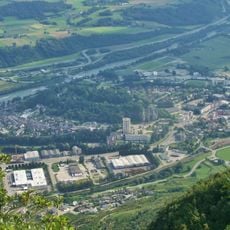
Montgelas is a mountain summit within the Bauges massif that reaches approximately 1300 meters and offers dense forest paths and natural observation points. The terrain is crossed by various walking routes that connect the surrounding villages.

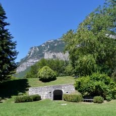
The region was formerly a center for charcoal production, with remains of a furnace visible around 1250 meters elevation. This industry shaped the area for centuries and left physical traces scattered throughout the landscape.

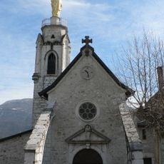
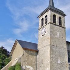
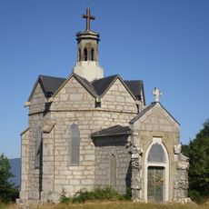
The cross standing at the summit was installed in 2011 and reflects a longtime Alpine practice of marking high places with religious symbols. This tradition connects spirituality to the landscape that hikers pass through during their walks.

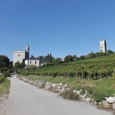
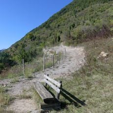
Well-marked paths guide visitors through forest and open areas, with access available from surrounding villages. The trails are generally manageable but include considerable uphill sections, so good footwear and adequate time are essential.

The summit marks where three communes meet - Chignin, Curienne, and La Thuile - with their walking paths converging around 1200 meters elevation. This junction connects people from three separate local communities in a shared outdoor space.

The community of curious travelers

AroundUs brings together thousands of curated places, local tips, and hidden gems, enriched daily by 60,000 contributors worldwide.

Start exploring
Location
Location
Location
Elevation above the sea
1,301 m
GPS coordinates
45.53786,6.02632
Latest update
December 15, 2025 13:23
Reviews
Share your experience

No review yet

Discussions
Start a discussion...

No discussion yet

« Sommet de Montgelas - Mountain summit in Chignin, France » is provided by Around Us (aroundus.com). Images and texts are derived from Wikimedia project under a Creative Commons license. You are allowed to copy, distribute, and modify copies of this page, under the conditions set by the license, as long as this note is clearly visible.

Discover hidden gems everywhere you go!

From secret cafés to breathtaking viewpoints, skip the crowded tourist spots and find places that match your style. Our app makes it easy with voice search, smart filtering, route optimization, and insider tips from travelers worldwide. Download now for the complete mobile experience.

Around Us App Screenshot

A unique approach to discovering new places

Le Figaro

All the places worth exploring

France Info

A tailor-made excursion in just a few clicks

20 Minutes

Around Us
Travel Guide & Maps
Download

Send to your phone

QR Code
1

Open the camera app on your mobile.

2

Point at the QR code with your camera. A notification will appear.

3

Tap the notification to open the link.