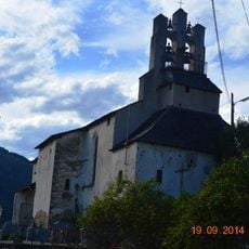
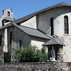
Pic de Sérau, Mountain summit in Pyrénées, France
Pic de Sérau is a summit in the Pyrenees that rises to about 1,716 meters and offers multiple hiking routes through varied terrain. The paths cross grassy slopes, rocky sections, and areas with snow or ice depending on the season.
The summit served as a natural boundary line in the Pyrenees, influencing how territories were divided among local communities over many centuries. Its location made it a key reference point for the people of the region.
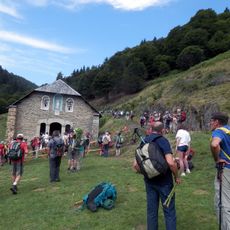
Shepherds have long practiced traditional grazing in the meadows around the summit, keeping the landscape open and used as it has been for generations. This way of farming shapes how the mountain looks and feels when you walk through it.
The main hiking loop covers roughly 14 kilometers and takes about 5 to 6 hours to complete at a comfortable pace. You can find parking near the Uchentein trailhead, which serves as the starting point for the route.
The summit connects to nearby peaks like Pic de l'Arraing and Pic de Mardans through a network of mountain paths that meet at strategic passes. These connections allow hikers to move between several summits in one longer journey.
The community of curious travelers
AroundUs brings together thousands of curated places, local tips, and hidden gems, enriched daily by 60,000 contributors worldwide.