
Meyriat, human settlement in France
Location: Ain
Location: Bohas-Meyriat-Rignat
GPS coordinates: 46.13680,5.39080
Latest update: March 5, 2025 00:48

Château de La Cueille
4 km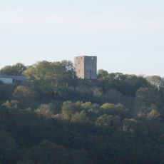
Donjon de Buenc
2.7 km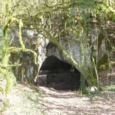
Grotte de Hautecourt
4.6 km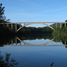
Pont de Serrières-sur-Ain
4.6 km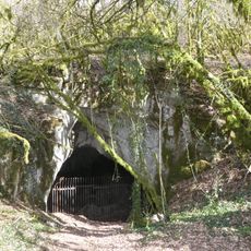
Réserve naturelle nationale de la grotte de Hautecourt
4.6 km
Église Saint-Martin de Bohas
2.6 km
Église Saint-Laurent de Hautecourt
3.4 km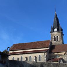
Église Saint-Didier de Rignat
2.8 km
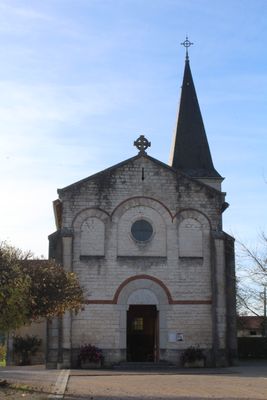
Église Saint-Étienne de Vessignat
42 m
Église Saint-Vincent de Journans
4.4 km
Town hall of Hautecourt-Romanèche
3.2 km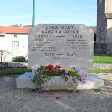
War memorial of Bohas
2.6 km
Mairie de Bohas-Meyriat-Rignat
22 m
War memorial of Hautecourt
3.3 km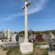
Cemetery cross of Meyriat
295 m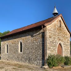
Chapelle Sainte-Anne d'Arthurieux
2.5 km
Former town hall of Bohas
2.6 km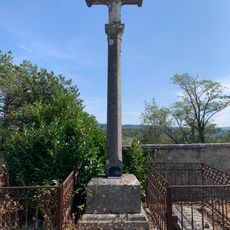
Cemetery cross of Hautecourt
3 km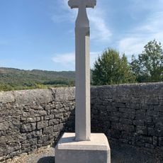
Cemetery cross of Bohas
2.3 km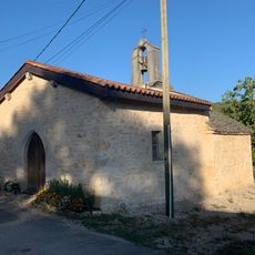
Chapelle Sainte-Madeleine d'Allement
3.7 km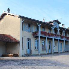
Former town hall of Rignat
2.8 km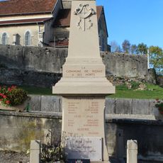
War memorial of Rignat
2.7 km
Former town hall of Hautecourt
3.3 km
Chapelle Saint-Antoine de la Cueille
4.1 km
War memorial of Meyriat
19 m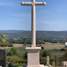
Cemetery cross of Rignat
2.7 km
Château Pinel
3.3 km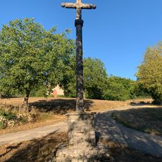
Croix d'Arthurieux
2.5 kmReviews
Visited this place? Tap the stars to rate it and share your experience / photos with the community! Try now! You can cancel it anytime.
Discover hidden gems everywhere you go!
From secret cafés to breathtaking viewpoints, skip the crowded tourist spots and find places that match your style. Our app makes it easy with voice search, smart filtering, route optimization, and insider tips from travelers worldwide. Download now for the complete mobile experience.

A unique approach to discovering new places❞
— Le Figaro
All the places worth exploring❞
— France Info
A tailor-made excursion in just a few clicks❞
— 20 Minutes