
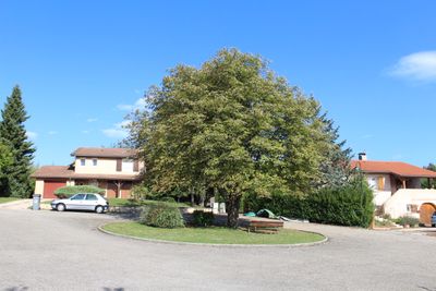
Clos le Village, street in Saint-Cyr-sur-Menthon, France
Location: Saint-Cyr-sur-Menthon
Part of: street network of Saint-Cyr-sur-Menthon
Shares border with: chemin de la Chapelle, rue du Stade, passage du Tennis
GPS coordinates: 46.27450,4.97131
Latest update: September 25, 2025 07:52
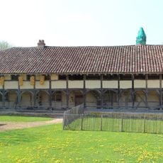
Planons Farm
1.3 km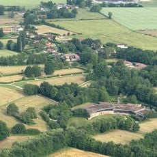
Domaine des Saveurs – Les Planons
1.3 km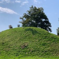
Poype de Saint-Cyr-sur-Menthon
385 m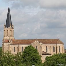
Saint Quiricus church in Saint-Cyr-sur-Menthon
121 m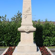
War memorial of Saint-Cyr-sur-Menthon
129 m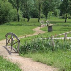
Rives du Menthon
392 m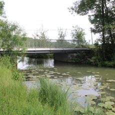
Pont d'Arringes
679 m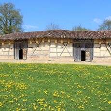
Dependance of Planons Farm
1.3 km
Clos les Jardins de Saint-Cyr
1.1 km
Notre-Dame des Champs
124 m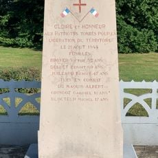
War memorial of La Tuilerie
1.3 km
Clos du Moulin
197 m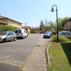
Clos le Lavoir
139 m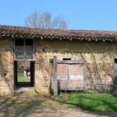
Building of the oven, pig pouches and henhouse of Planons Farm
1.3 km
Town hall of Saint-Cyr-sur-Menthon
250 m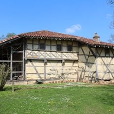
Main building of Planons Farm
1.3 km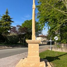
Croix du Logis
283 m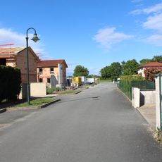
Clos des Champs
1.3 km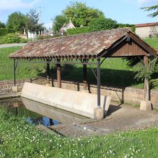
Lavoir de Saint-Cyr-sur-Menthon
190 m
Clos du Champ-Fleuri
770 m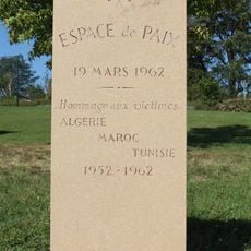
Monument de l'Espace de Paix de Saint-Cyr-sur-Menthon
267 m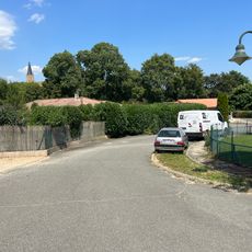
Clos de la Colline
275 m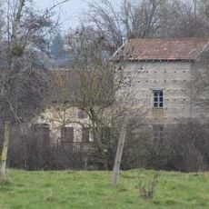
Cassevesce watermill
391 m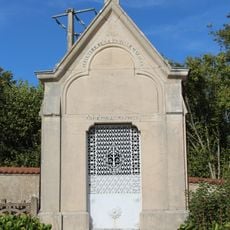
Sépulture de la Famille Mazoyer
192 m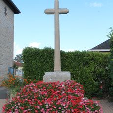
Croix du bourg
138 m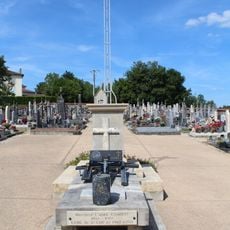
Cemetery cross of Saint-Cyr-sur-Menthon
214 m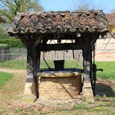
Water well of Planons Farm
1.3 km
Clos Boutaron
217 mVisited this place? Tap the stars to rate it and share your experience / photos with the community! Try now! You can cancel it anytime.
Discover hidden gems everywhere you go!
From secret cafés to breathtaking viewpoints, skip the crowded tourist spots and find places that match your style. Our app makes it easy with voice search, smart filtering, route optimization, and insider tips from travelers worldwide. Download now for the complete mobile experience.

A unique approach to discovering new places❞
— Le Figaro
All the places worth exploring❞
— France Info
A tailor-made excursion in just a few clicks❞
— 20 Minutes