
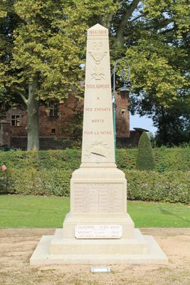
War memorial of Bouligneux, war memorial located in Ain department, France
Location: Bouligneux
Inception: September 19, 1920
GPS coordinates: 46.02320,4.99109
Latest update: March 6, 2025 16:52

Parc des oiseaux
4.3 km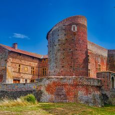
Château de Bouligneux
112 m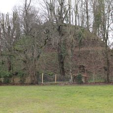
Poype de Villars-les-Dombes
3.7 km
Chapelle Notre-Dame-de-Beaumont de La Chapelle-du-Châtelard
5.8 km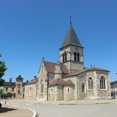
Église de la Nativité-de-la-Sainte-Vierge de Villars-les-Dombes
3.9 km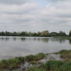
Étang du Grand-Turlet
3.8 km
Musée de la Dombes de Villars-les-Dombes
3.7 km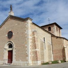
Église Saint-Marcel de Bouligneux
66 m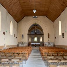
Église Saint-Priest de Sandrans
4.6 km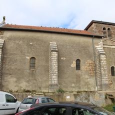
Église Saint-Romain de Lapeyrouse
4.7 km
Église Saint-Allyre de Sainte-Olive
4.5 km
Église Notre-Dame-de-l'Assomption de La Chapelle-du-Châtelard
5.7 km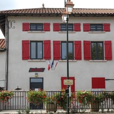
Mairie de Lapeyrouse
4.7 km
Town hall of Bouligneux
95 m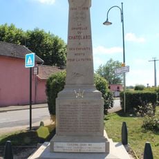
War memorial of La Chapelle-du-Châtelard
5.7 km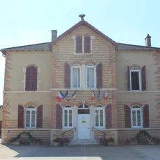
Town hall of La Chapelle-du-Châtelard
5.8 km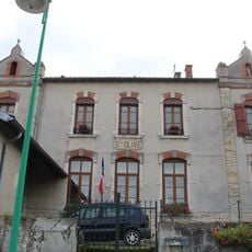
Mairie de Sainte-Olive
4.5 km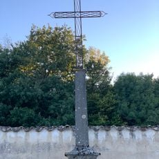
Cemetery cross of La Chapelle-du-Châtelard
4.6 km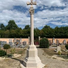
Cemetery cross of Bouligneux
392 m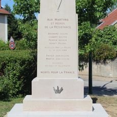
War memorial of Resistance of La Chapelle-du-Châtelard
5.7 km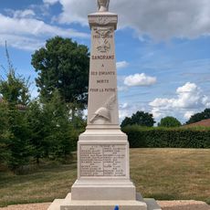
War memorial of Sandrans
4.6 km
Town hall of Villars-les-Dombes
3.9 km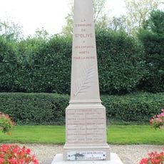
War memorial of Sainte-Olive
4.6 km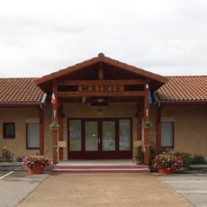
Town hall of Sandrans
4.6 km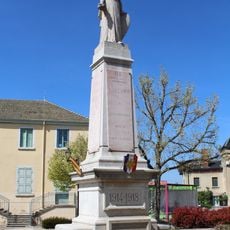
War memorial of Villars-les-Dombes
3.8 km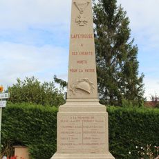
War memorial of Lapeyrouse
4.6 km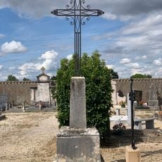
Cemetery cross of Sandrans
4.6 km
Castle of Sandrans
4.6 kmVisited this place? Tap the stars to rate it and share your experience / photos with the community! Try now! You can cancel it anytime.
Discover hidden gems everywhere you go!
From secret cafés to breathtaking viewpoints, skip the crowded tourist spots and find places that match your style. Our app makes it easy with voice search, smart filtering, route optimization, and insider tips from travelers worldwide. Download now for the complete mobile experience.

A unique approach to discovering new places❞
— Le Figaro
All the places worth exploring❞
— France Info
A tailor-made excursion in just a few clicks❞
— 20 Minutes