
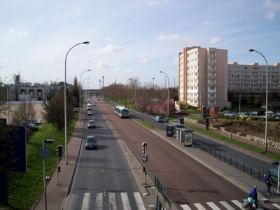
Route de Choisy, road in Créteil, France
Location: Créteil
Part of: Créteil yol ağı
Shares border with: Rue des Mèches, Rue Maurice-Déménitroux, Rue Saint-Simon, Rue Louis-Pasteur-Vallery-Radot, Rue de la Porte-des-Champs, Mail des Mèches, Carrefour Pompadour
GPS coordinates: 48.78302,2.44670
Latest update: September 23, 2025 12:57
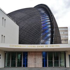
Créteil Cathedral
768 m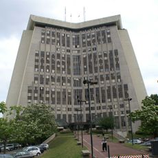
Courthouse of Créteil
443 m
Mosque Sahaba
199 m
Île de loisirs de Créteil
657 m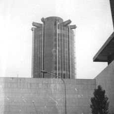
Creteil town hall
746 m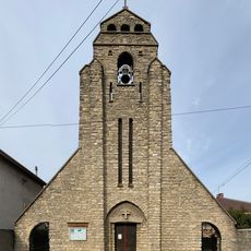
Chapelle Saint-Léon de Maisons-Alfort
1.4 km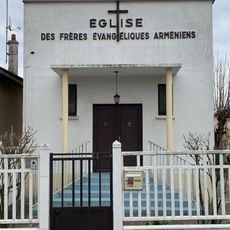
Église des Frères Évangéliques Arméniens d'Alfortville
1.4 km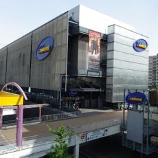
UGC Ciné Cité Créteil
780 m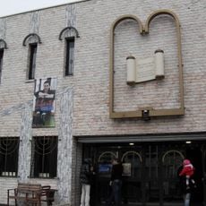
Synagogue of Créteil
1.2 km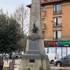
Monument au Général Ladreit de Lacharrière
1.6 km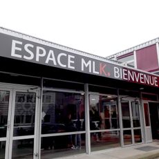
Église Martin-Luther-King de Créteil
964 m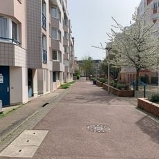
Square Benjamin-Moloïse
1.4 km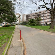
Square Hector-Berlioz
1.6 km
Groupe scolaire Jules-Ferry
1.4 km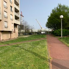
Square Paul-Éluard
1.3 km
La lucarne MJC
1.6 km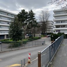
Square Louis-Braille
1.5 km
Quai Jacques-Offenbach
1.1 km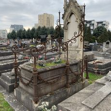
Tombe de la famille Miscot
1.4 km
Square Maurice-Dufourmantelle
1.2 km
Square Edison
1.5 km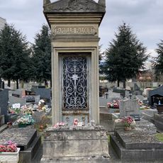
Chapelle funéraire de la famille Falquet
1.4 km
Square de Novi-Beograd
1.5 km
Square des Marguerites
1.6 km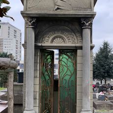
Chapelle funéraire de la famille Delobre
1.4 km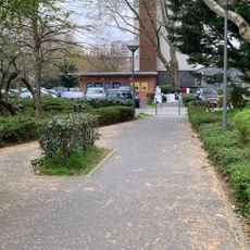
Square Gabriel-Fauré
957 m
Esplanade des Abymes
1.3 km
Cité d'habitations à bon marché du square Dufourmantelle
1.2 kmReviews
Visited this place? Tap the stars to rate it and share your experience / photos with the community! Try now! You can cancel it anytime.
Discover hidden gems everywhere you go!
From secret cafés to breathtaking viewpoints, skip the crowded tourist spots and find places that match your style. Our app makes it easy with voice search, smart filtering, route optimization, and insider tips from travelers worldwide. Download now for the complete mobile experience.

A unique approach to discovering new places❞
— Le Figaro
All the places worth exploring❞
— France Info
A tailor-made excursion in just a few clicks❞
— 20 Minutes