Créteil

Log in to your account

AroundUs is a community-driven map of interesting places, built by curious explorers like you. It grows with every review, story, and photo you share.
Connect to save your favorite spots, contribute locations, and create personalized routes.
By continuing, you accept our Terms and Conditions and our Privacy Policy
Add to collection
Map
Suggest a change
Share

Créteil, Administrative center in Val-de-Marne, France

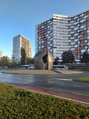
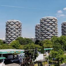
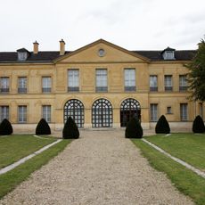
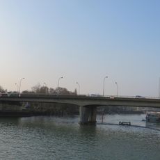
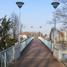
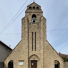
Créteil is a town on the southeastern edge of Paris that stretches across both banks of the Seine and serves as the administrative center of the Val-de-Marne department. The town consists of older neighborhoods along the river and modern residential blocks built in recent decades, connected by wide avenues and green spaces.

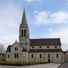
A settlement has existed here since Neolithic times, and the first written mention comes from the year 865 when the place appeared in a martyrology under the name Cristoilum. The town expanded greatly in the 20th century as new residential districts were built to accommodate the growing population of the region.

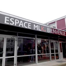
The town carries a name with Latin roots and has grown around several modern neighborhoods that each possess their own squares and shopping areas. Life here follows the rhythm of the large university and the many families who live in the residential towers and the parks along the riverbank.

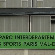
Four stops on Paris Metro Line 8 connect the town directly to the center of the capital and offer convenient access for visitors. The main areas can be explored on foot, while the wider streets and green spaces create a comfortable environment for walking.

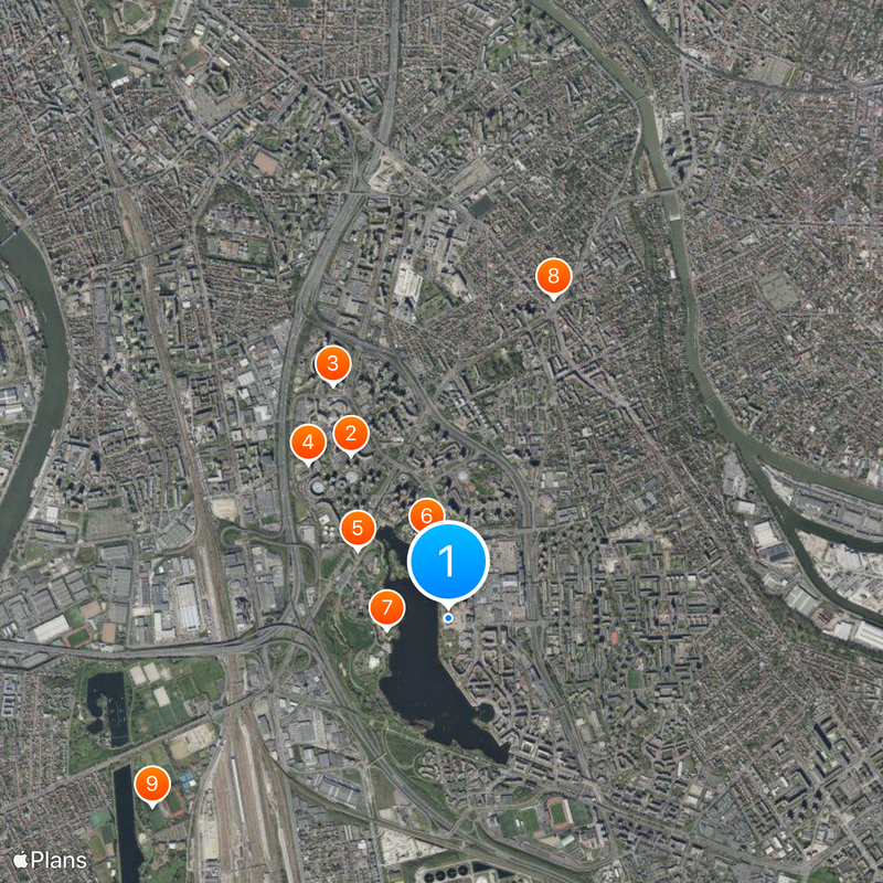
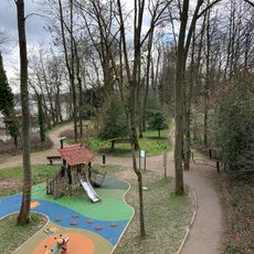
The artificial lake formed from a former gypsum and gravel quarry and now serves as a leisure area for water sports and walks along the shore. The body of water has its own small island, reachable by a bridge, that offers a quiet retreat in the middle of the densely built surroundings.

Location: Val-de-Marne

Location: arrondissement of Créteil

Location: Grand Paris

Elevation above the sea: 40 m

Shares border with: Maisons-Alfort, Alfortville, Saint-Maur-des-Fossés, Limeil-Brévannes, Bonneuil-sur-Marne, Valenton, Choisy-le-Roi

Address: Créteil, France

Phone: +33149809294

Website: https://ville-creteil.fr

GPS coordinates: 48.77778,2.45306

Latest update: December 15, 2025 06:14

Photos
Major cities of France: the 50 most populous communes, metropolitan areas, and urban centers

This collection brings together the 50 most populous cities of France, from the metropolis to overseas territories. It includes the major urban centers shaping the national territory, from Paris with its capital status to regional metropolises like Marseille with its Mediterranean port, Lyon where...

Reviews

Visited this place? Tap the stars to rate it and share your experience / photos with the community! Try now! You can cancel it anytime.

Administrative divisions
« Créteil - Administrative center in Val-de-Marne, France » is provided by Around Us (aroundus.com). Images and texts are derived from Wikimedia project under a Creative Commons license. You are allowed to copy, distribute, and modify copies of this page, under the conditions set by the license, as long as this note is clearly visible.

Discover hidden gems everywhere you go!

From secret cafés to breathtaking viewpoints, skip the crowded tourist spots and find places that match your style. Our app makes it easy with voice search, smart filtering, route optimization, and insider tips from travelers worldwide. Download now for the complete mobile experience.

Around Us App Screenshot

A unique approach to discovering new places

Le Figaro

All the places worth exploring

France Info

A tailor-made excursion in just a few clicks

20 Minutes