
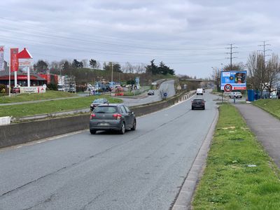
Route de la Pompadour, road in Créteil, France
Location: Créteil
Part of: Créteil yol ağı
Shares border with: Mail Saussure, chemin de la Pompadour, Avenue Fernand-Pouillon, avenue des 28 Arpents, rue Pierre Semard, Avenue Jean-Rostand, Avenue Magellan, Mail Santa-Maria, Quai de la Brise, Avenue du Nouveau-Monde, Rue des Batillages, Allée de la Salamandre, Mail des Sourciers, Allée de la Sirène, Carrefour Pompadour, Rue de la Haute-Quinte, Rue Vasco-de-Gama
GPS coordinates: 48.76904,2.46213
Latest update: September 23, 2025 12:58
Île de loisirs de Créteil
1.4 km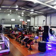
Crazy Park
1.7 km
Creteil town hall
1.2 km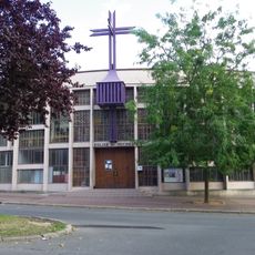
Église Saint-Michel du Mont-Mesly
1.1 km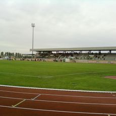
Léo Lagrange stadium
1.7 km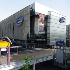
UGC Ciné Cité Créteil
1.5 km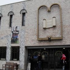
Synagogue of Créteil
1 km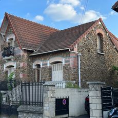
Maison, 5 rue Montaigne
1.7 km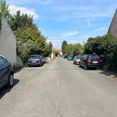
Square des Vendanges
1.2 km
Square Benjamin-Moloïse
546 m
Square des Gardes Vignes
1.1 km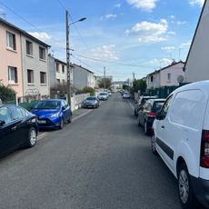
Square de la Renardière
1 km
École Langevin Wallon
1.8 km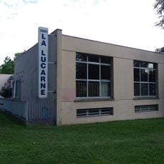
La lucarne MJC
969 m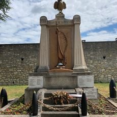
War memorial of Bonneuil-sur-Marne
1.6 km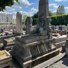
Tombeau de la famille Gross
1.6 km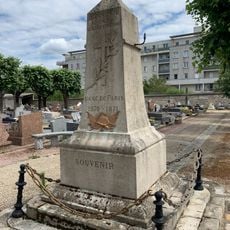
Franco-Prussian War memorial of Bonneuil-sur-Marne
1.6 km
Square des Griffons
344 m
Quai Jacques-Offenbach
889 m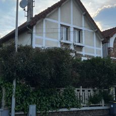
Maison, 20 rue Anatole France
1.8 km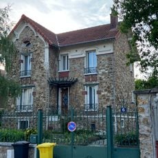
Maison, 6 rue de l'Espérance
1.3 km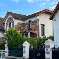
Maison, 18 rue Anatole-France
1.8 km
Square Jean-Pierre-Martinez
726 m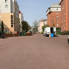
Square de Novi-Beograd
464 m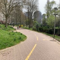
Quai de la Croisette
984 m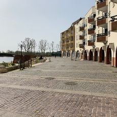
Esplanade des Abymes
657 m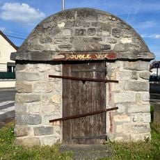
Cabane de cantonnier de Bonneuil-sur-Marne
1.5 km
Maison, 37 rue Montaigne
1.7 kmReviews
Visited this place? Tap the stars to rate it and share your experience / photos with the community! Try now! You can cancel it anytime.
Discover hidden gems everywhere you go!
From secret cafés to breathtaking viewpoints, skip the crowded tourist spots and find places that match your style. Our app makes it easy with voice search, smart filtering, route optimization, and insider tips from travelers worldwide. Download now for the complete mobile experience.

A unique approach to discovering new places❞
— Le Figaro
All the places worth exploring❞
— France Info
A tailor-made excursion in just a few clicks❞
— 20 Minutes