
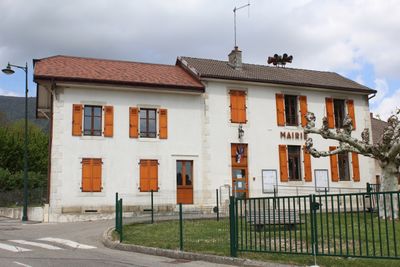
Town hall of Saint-Jean-de-Gonville, mairie située dans l'Ain, en France
Location: Saint-Jean-de-Gonville
Address: RUE CHAMP DE FOIRE, 01630 SAINT-JEAN-DE-GONVILLE
GPS coordinates: 46.21174,5.95361
Latest update: March 3, 2025 11:29
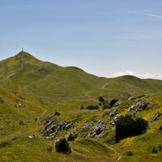
Le Reculet
5.4 km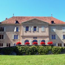
Dardagny Castle
3.8 km
Pont du Moulin Fabry
5 km
Pont de La Plaine
5.4 km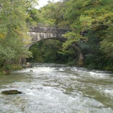
Pont des Granges
3.5 km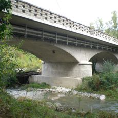
Allondon bridge
5.2 km
Pont d'Essertines
3.3 km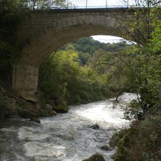
Pont des Baillets
3.1 km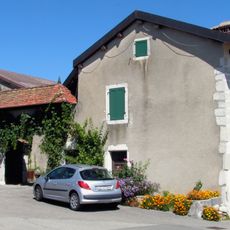
Ferme Bellevaux
2.9 km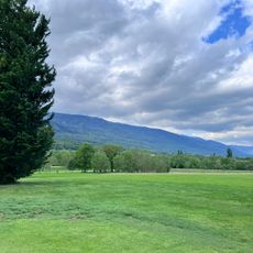
Golf de Gonville
753 m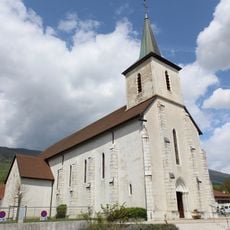
Église Saint-Antoine de Péron
3.3 km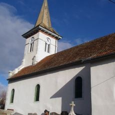
Église Saint-Maurice de Challex
3.7 km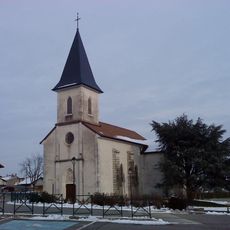
Église Saint-Jean de Saint-Jean-de-Gonville
212 m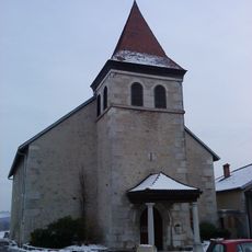
Église Saint-Maurice de Thoiry
3.3 km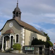
Protestant temple of Dardagny
3.7 km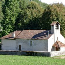
Chapel of Malval
2.9 km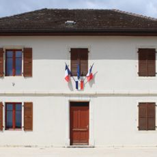
Mairie de Péron
3.3 km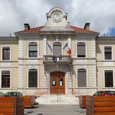
Mairie de Thoiry
3.4 km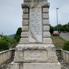
War memorial of Challex
3.8 km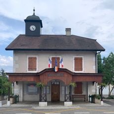
Town hall of Challex
3.7 km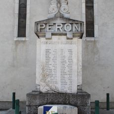
War memorial of Péron
3.3 km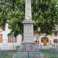
War memorial of Saint-Jean-de-Gonville
25 m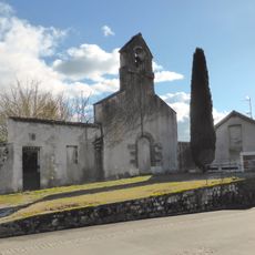
Former Protestant church of Peissy
5.2 km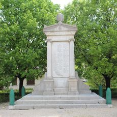
War memorial of Thoiry
3.4 km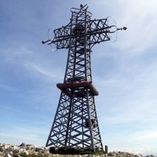
Croix du Reculet
5.4 km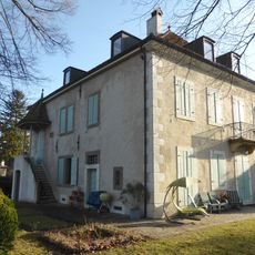
Campagne Leleux
3.6 km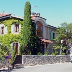
Domaine Pellegrin
5.2 km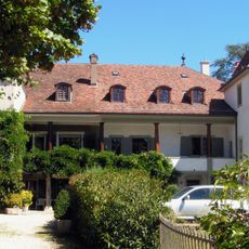
Campagne de la Grand'Cour
5.2 kmVisited this place? Tap the stars to rate it and share your experience / photos with the community! Try now! You can cancel it anytime.
Discover hidden gems everywhere you go!
From secret cafés to breathtaking viewpoints, skip the crowded tourist spots and find places that match your style. Our app makes it easy with voice search, smart filtering, route optimization, and insider tips from travelers worldwide. Download now for the complete mobile experience.

A unique approach to discovering new places❞
— Le Figaro
All the places worth exploring❞
— France Info
A tailor-made excursion in just a few clicks❞
— 20 Minutes