Kankaanpää, Municipality in Satakunta region, Finland
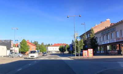
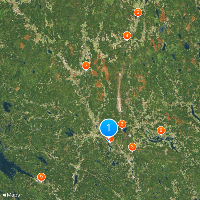
Kankaanpää is a municipality in Satakunta that spreads across a large area with varied landscape features, located north of the city of Pori. The town has developed art pathways and routes that guide visitors through its public art collection displayed throughout the area.
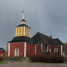
Early settlements developed here in the 1560s, but major growth began when the area received market town status in 1967. The transition to full town status in 1972 brought further changes to its structure and importance.
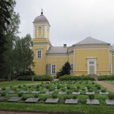
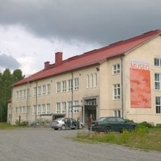
The municipality is recognized for its public art collection spread throughout streets and public spaces, which shapes how residents and visitors experience daily life. This artistic presence creates a distinctive character that you notice as you walk through different neighborhoods.
The best way to explore is on foot, especially when following the marked art pathways that connect different parts of the municipality. Visiting the local tourist office at the start of your visit provides helpful maps and information to guide your exploration.
A natural spring called Kuninkaanlähde drew high-ranking visitors throughout history, including Swedish royalty who stopped by in different centuries. This historic water source shows how certain natural places held importance for people far beyond the local area.
Location: Satakunta
Reference: 214
Shares border with: Ikaalinen, Isojoki, Jämijärvi, Karvia, Kauhajoki, Parkano, Pomarkku, Pori, Siikainen, Sastamala
Email: kankaanpaan.kaupunki@kankaanpaa.fi
Website: https://kankaanpaa.fi/in-english
GPS coordinates: 61.80416,22.39372
Latest update: December 20, 2025 13:23
Niinisalo garrison
5.3 kmKuninkaanlähde
7.8 kmKyrö Skantz
30.4 km
Karvia Church
37.9 km
Kankaanpää Church
747 m
Honkajoki Church
22.1 km
Jämijärvi Church
15.8 km
Pomarkku Old Church
23.6 km
Kankaanpää City Museum
6.1 km
Niinisalo Church
6.2 kmAumakivi (bato sa Finlandia, Etelä-Pohjanmaa)
37.9 kmPirunkirkko (bato sa Finlandia, Satakunta)
18.2 kmKarhunkivi (bato sa Finlandia, Satakunta, Pohjois-Satakunta)
11.1 kmKirkkokivi (bato sa Finlandia, Satakunta, Pohjois-Satakunta, lat 61,79, long 22,00)
20.9 km
Pomarkun kotiseutumuseo
23 kmRumakivi (bato sa Finlandia, Etelä-Pohjanmaa)
38.6 kmMerekivi
11.6 kmKirkkokivi (bato sa Finlandia, Satakunta, Pohjois-Satakunta, lat 62,05, long 22,60)
29.7 kmKirkkokivi (bato sa Finlandia, Satakunta, Pohjois-Satakunta, lat 61,85, long 22,40)
4.9 km
Honkajoen kotiseutumuseo
22.3 km
Karvian kotiseutumuseo
37.9 kmKortessalo
37.1 kmMetsäsiankivet
12.5 kmVareksela
23.8 kmAla-Nissi
19.6 kmKylänlahden uimaranta
23.6 kmPikku-valkjärven uimaranta
20.4 kmValkiajärven uimaranta
6.5 kmVisited this place? Tap the stars to rate it and share your experience / photos with the community! Try now! You can cancel it anytime.
Discover hidden gems everywhere you go!
From secret cafés to breathtaking viewpoints, skip the crowded tourist spots and find places that match your style. Our app makes it easy with voice search, smart filtering, route optimization, and insider tips from travelers worldwide. Download now for the complete mobile experience.
A unique approach to discovering new places❞
— Le Figaro
All the places worth exploring❞
— France Info
A tailor-made excursion in just a few clicks❞
— 20 Minutes