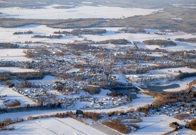
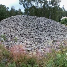
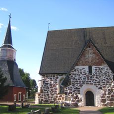
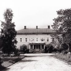
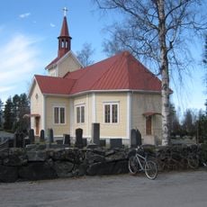
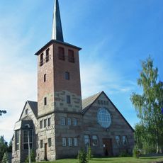
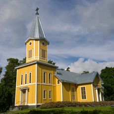
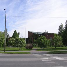
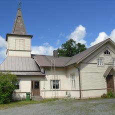
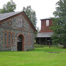
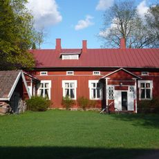
Nakkila, municipality in the region of Satakunta in Finland
Location: Satakunta
Inception: 1861
Website: http://www.nakkila.fi/
Part of: Satakunta
Shares border with: Pori, Harjavalta, Eura, Eurajoki, Ulvila
Website: http://nakkila.fi
GPS coordinates: 61.36528,22.00417
Latest update: March 22, 2025 18:41
Kuninkaanhauta
16.3 km
St. Olaf's Church
10.9 km
Anola Manor
2.5 km
Satalinna hospital
5.2 km
Villilä Manor
457 m
Nakkila Church
279 m
Emil Cedercreutz Museum
12.6 km
Pori Centre Public Swimming Pool
16.6 km
Rosenlew Museum
17.2 km
Harjavallan silta
9.6 km
Harjavalta Old Church
9.3 km
Pori Guard
17.2 km
Harjavalta Church
9.3 km
Panelia Church
15.7 km
Kullaa Church
14 km
Казанская церковь
16.7 km
Harjavallan vanha kaupungintalo
9.2 km
Église de Teljä
15.1 km
Lattomeri Church
12.2 km
Matinharju
12.8 km
Kullaa Local Museum
14 km
Fredriksfors bruk
9.9 km
Kullaan kotiseutumuseo
14 km
Juustomeijerimuseo
227 m
Kiukaisten Wanha pappila
17.2 km
Panelian museo
15.7 km
Kangasniemi-museo
10 km
Taattolan ulkomuseo
13.8 kmReviews
Visited this place? Tap the stars to rate it and share your experience / photos with the community! Try now! You can cancel it anytime.
Discover hidden gems everywhere you go!
From secret cafés to breathtaking viewpoints, skip the crowded tourist spots and find places that match your style. Our app makes it easy with voice search, smart filtering, route optimization, and insider tips from travelers worldwide. Download now for the complete mobile experience.
A unique approach to discovering new places❞
— Le Figaro
All the places worth exploring❞
— France Info
A tailor-made excursion in just a few clicks❞
— 20 Minutes