
Višnjićevo, human settlement
Location: Šid Municipality
Elevation above the sea: 81 m
GPS coordinates: 44.96583,19.29000
Latest update: June 15, 2025 06:37
Privina Glava monastery
19 km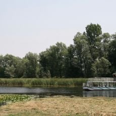
Zasavica
18.6 km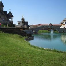
Stanišići
20.2 km
Morović Fortress
7.3 km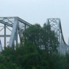
Rača Bridge
6.3 km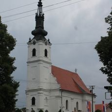
Crkva Sv. Petra i Pavla
20.7 km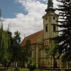
Crkva Sv. Nikole
18.3 km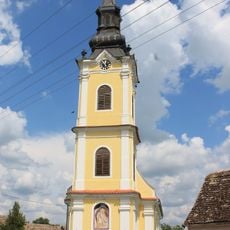
Crkva Sv. proroka Ilije (Ilinci)
21 km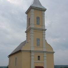
Rimokatolička crkva Sv. Katarine
21.7 km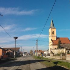
Apševci
20.9 km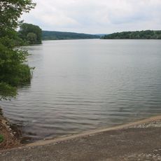
Мохарач
21.1 km
Sava Šumanović Art Gallery
17.9 km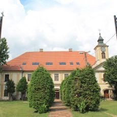
Ruski dvor u Šidu
19.4 km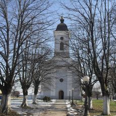
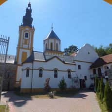
Church of the Nativity of the Virgin
20.8 km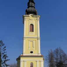
Église Saint-Nicolas de Martinci
14.4 km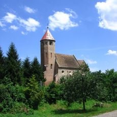
Rimokatolička crkva Sv. Marije u Moroviću
6 km
Ethno-village de Sovljak
17.9 km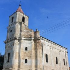
Rimokatolička crkva Svetog Trojstva
12.3 km
Saints Cosmas and Damian Church
11.3 km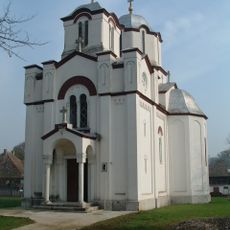
Crkva Svete Trojice
15.2 km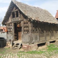
Амбар у Беркасову
20.8 km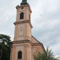
Crkva Sv. Nikole
19.2 km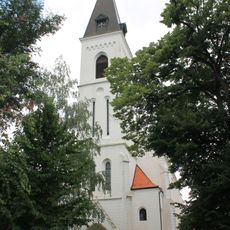
Rimokatolička crkva Sv. Mihajla
19.2 km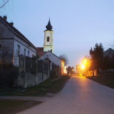
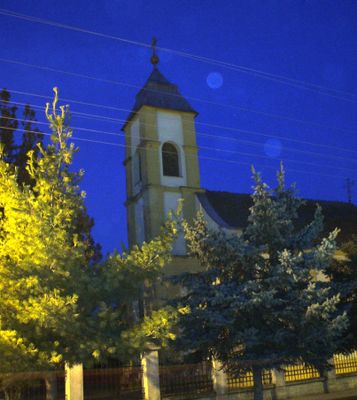
Crkva rođenja Presvete Bogorodice
5.6 km
Crkva Sv. Petra i Pavla
15.5 km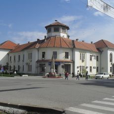
Bâtiment de l'ancienne Administration du district à Bogatić
19.7 km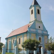
Rimokatolička crkva Sv. Ivana Nepomuka
15.5 km
Кућа у Батровцима
16.2 kmReviews
Visited this place? Tap the stars to rate it and share your experience / photos with the community! Try now! You can cancel it anytime.
Discover hidden gems everywhere you go!
From secret cafés to breathtaking viewpoints, skip the crowded tourist spots and find places that match your style. Our app makes it easy with voice search, smart filtering, route optimization, and insider tips from travelers worldwide. Download now for the complete mobile experience.

A unique approach to discovering new places❞
— Le Figaro
All the places worth exploring❞
— France Info
A tailor-made excursion in just a few clicks❞
— 20 Minutes