
Murakeresztúr, village in Hungary
Location: Nagykanizsa District
Website: https://murakeresztur.hu
GPS coordinates: 46.35235,16.87773
Latest update: April 7, 2025 14:02
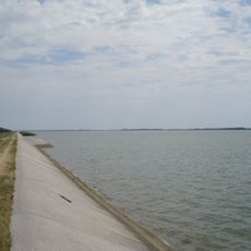
Lake Dubrava
17.9 km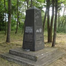
Novi Zrin
3.2 km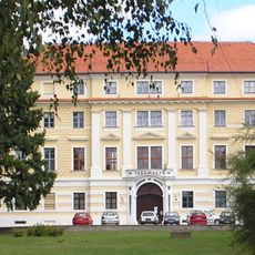
Schloss Batthyány (Ludbreg)
22.8 km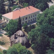
Kastelo de Letenye
15 km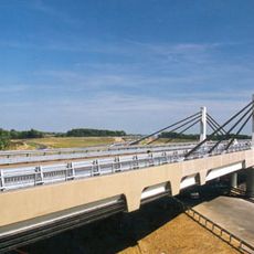
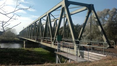
Korongi Bridge
13.2 km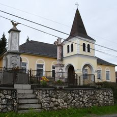
Bagola
13.9 km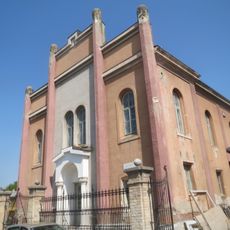
Koprivnica Synagogue
21.2 km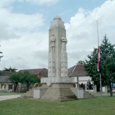
Nagy-Magyarország-emlékmű
14.7 km
Synagogue in Nagykanizsa
14.3 km
Botovo
15.2 km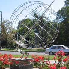
17 Longitude Monument (Nagykanizsa)
14.8 km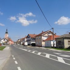
Sveti Juraj u Trnju
20.6 km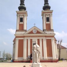
Draškovec
15.4 km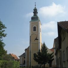
Franciscan monastery and church of St. Anthony of Padua in Koprivnica
21.8 km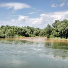
Mura-menti Tájvédelmi Körzet
11.8 km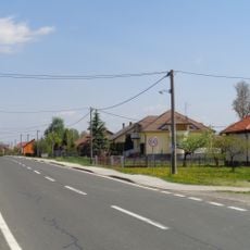
Donji Pustakovec
21.9 km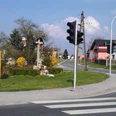
Sigetec Ludbreški
21 km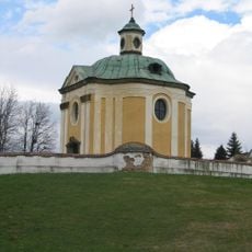
Tombokapelo Inkey
15.9 km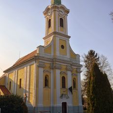
Holy Trinity Church in Letenye
15 km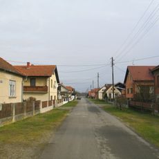
Donji Hrašćan
20.5 km
Vinogradi Ludbreški
23.4 km
Holy Spirit Church in Csurgó
19.2 km
Château de Botszentgyörgy
12.9 km
Szent Kereszt-kápolna
22.8 km
Preĝejo Vizito de Maria
13.3 km
Medgyaszay Ház
14.6 km
Evangélikus templom (Iharosberény)
18.1 km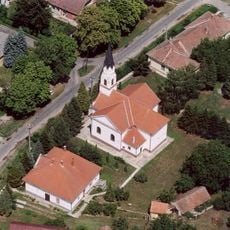
Szent József-templom
16.7 kmReviews
Visited this place? Tap the stars to rate it and share your experience / photos with the community! Try now! You can cancel it anytime.
Discover hidden gems everywhere you go!
From secret cafés to breathtaking viewpoints, skip the crowded tourist spots and find places that match your style. Our app makes it easy with voice search, smart filtering, route optimization, and insider tips from travelers worldwide. Download now for the complete mobile experience.

A unique approach to discovering new places❞
— Le Figaro
All the places worth exploring❞
— France Info
A tailor-made excursion in just a few clicks❞
— 20 Minutes