
Páka, municipality of Hungary
Location: Lenti District
Website: https://paka.hu
GPS coordinates: 46.58333,16.65000
Latest update: April 15, 2025 09:34
Municipality of Lendava
15.2 km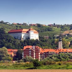
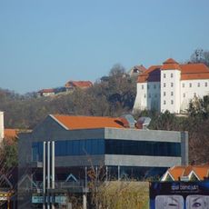
Lendava Castle
15.2 km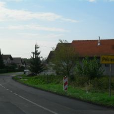
Peklenica
15.8 km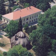
Kastelo de Letenye
17.5 km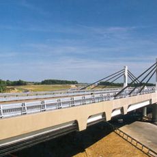
Korongi Bridge
19.9 km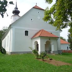
Reformed church in Szentgyörgyvölgy
23.9 km
Žabnik, Sveti Martin na Muri
21.8 km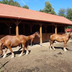
Ergela međimurskog konja, Žabnik
21.9 km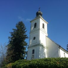
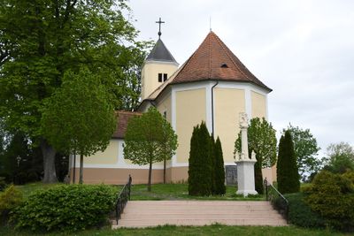
Holy Trinity Church
14.7 km
Sveti Juraj u Trnju
22.8 km
Gardinovec
18.8 km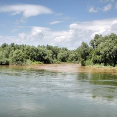
Mura-menti Tájvédelmi Körzet
22.1 km
Miklavec
15.5 km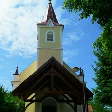
Štrukovec
20.9 km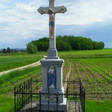
Hlapičina
20.3 km
Donji Pustakovec
23.6 km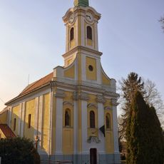
Holy Trinity Church in Letenye
17.6 km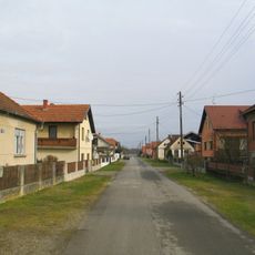
Donji Hrašćan
19.2 km
Vrhovljan
22 km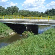
Držimurec
20.5 km
Marof
21.3 km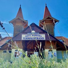
Aqua Barbara Thermal Bath
15.6 km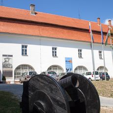
Gallery-Museum Lendava
15.2 km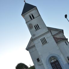
Sacred Heart of Jesus Parish Church
23.3 km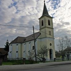
Saints Peter and Paul Parish Church
22.5 km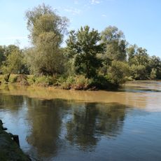
Mura
22.3 km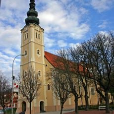
St. Catherine of Alexandria Church
15.3 km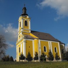
Saint Nicholas Church, Kerkaszentmiklós, Tornyiszentmiklós
10 kmReviews
Visited this place? Tap the stars to rate it and share your experience / photos with the community! Try now! You can cancel it anytime.
Discover hidden gems everywhere you go!
From secret cafés to breathtaking viewpoints, skip the crowded tourist spots and find places that match your style. Our app makes it easy with voice search, smart filtering, route optimization, and insider tips from travelers worldwide. Download now for the complete mobile experience.

A unique approach to discovering new places❞
— Le Figaro
All the places worth exploring❞
— France Info
A tailor-made excursion in just a few clicks❞
— 20 Minutes