
Butlersbridge, human settlement
Location: County Cavan
Elevation above the sea: 56.51 m
GPS coordinates: 54.04453,-7.37802
Latest update: April 4, 2025 02:14
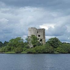
Cloughoughter Castle
6.8 km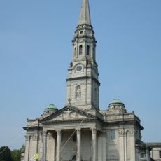
Cathedral of Saint Patrick and Saint Felim
5.2 km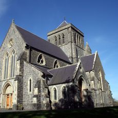
St Fethlimidh's Cathedral
6.2 km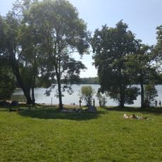
Killykeen Forest Park
7.5 km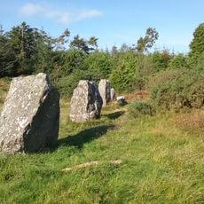
Finn McCool's Fingers
6.4 km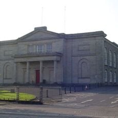
Cavan Courthouse
5.8 km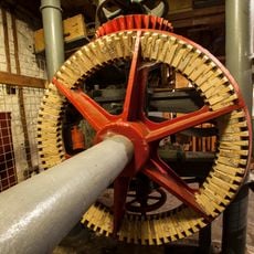
Cavan Water Mill
6.3 km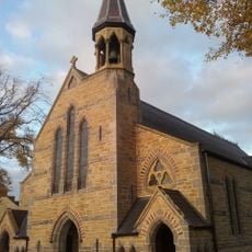
Butlersbridge Church
244 m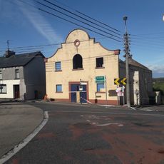
Erne Palais Ballroom
7.6 km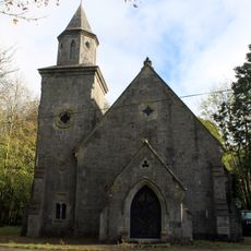
Quivvy Church
7.4 km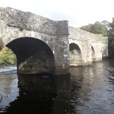
Ballyhaise Bridge
4.5 km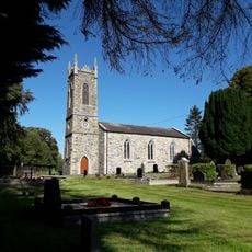
Killoughter Church
7.2 km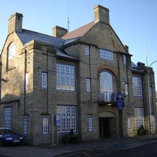
Cavan Town Hall
6 km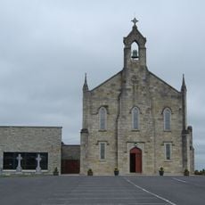
St Mary's Church
3.7 km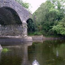
Baker's Bridge
3.5 km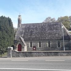
St Andrew’s Church
3.5 km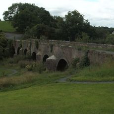
Carratraw Bridge
3.8 km
St John's Church
4.1 km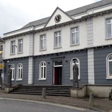
Belturbet Town Hall
7.6 km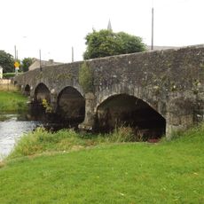
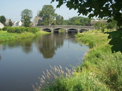
Butler's Bridge
215 m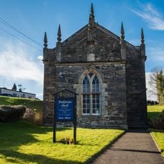
Cavan Presbyterian Church
6 km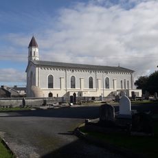
Church of the Immaculate Conception
7.6 km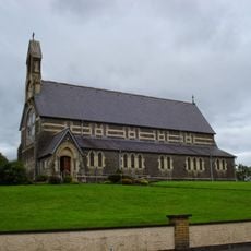
St Brigid's Church
7.7 km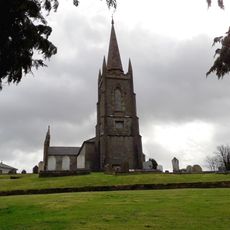
Belturbet Church of Ireland
7.5 km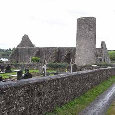
Drumlane Church and Round Tower
6.8 km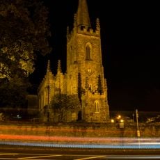
Cavan Church of Ireland
5.8 km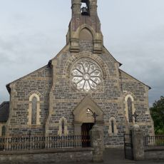
St Patrick's Church
7 km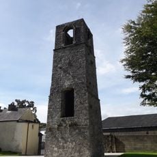
Abbey Tower
6.1 kmVisited this place? Tap the stars to rate it and share your experience / photos with the community! Try now! You can cancel it anytime.
Discover hidden gems everywhere you go!
From secret cafés to breathtaking viewpoints, skip the crowded tourist spots and find places that match your style. Our app makes it easy with voice search, smart filtering, route optimization, and insider tips from travelers worldwide. Download now for the complete mobile experience.

A unique approach to discovering new places❞
— Le Figaro
All the places worth exploring❞
— France Info
A tailor-made excursion in just a few clicks❞
— 20 Minutes