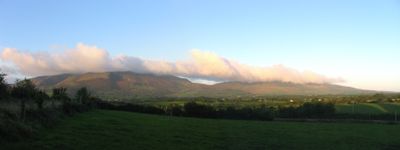
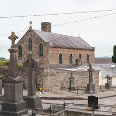
Comeragh Mountains, Mountain range in County Waterford, Ireland.
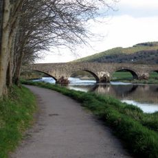
The Comeragh Mountains stretch from the River Suir valley near Clonmel to the coastal lowland, forming a ridge of connected peaks across the region. The landscape features steep slopes, rocky summits, and several lakes nestled in circular basins that were sculpted by glaciers over time.
The mountains formed over 500 million years ago from conglomerate and sandstone rock in an ancient geological period. During the Ice Age, glaciers carved out many of the valleys and steep cliffs that define the range today.
The Nire Valley hosts a walking festival each October that brings together hikers from across Ireland and beyond. This event shows how the mountains serve as a gathering place for people who enjoy outdoor activities and nature.
Multiple access points and marked trails allow visitors to explore the mountains from several different starting locations. The highest peak can be reached on foot by following established paths that lead from nearby valleys and towns.
Coumshingaun impresses visitors with steep rock walls rising about 300 meters around a lake, forming a natural arena that catches the eye. This striking enclosure was carved out by glacier movement over thousands of years, making it one of the most distinctive features in the range.
The community of curious travelers
AroundUs brings together thousands of curated places, local tips, and hidden gems, enriched daily by 60,000 contributors worldwide.