
Ballylongford, village in Munster, Ireland
Location: County Kerry
Elevation above the sea: 4 m
Address: Aghanagran Middle, Ballylongford, Co. Kerry, Ireland Ballylongford Ballylongford
GPS coordinates: 52.54600,-9.47800
Latest update: June 2, 2025 00:28
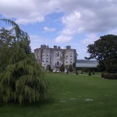
Glin Castle
12.7 km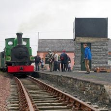
West Clare Railway
14.2 km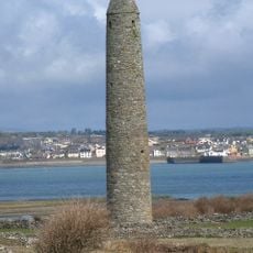
Inis Cathaigh
8 km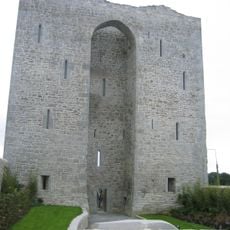
Listowel Castle
11.2 km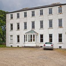
Tarbert House
8.3 km
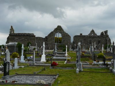
Lislaughtin Abbey
1.4 km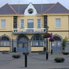
Kilrush Town Hall
10.3 km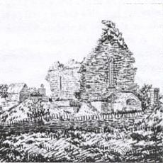
Kilmacduane
19.7 km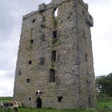
Carrigaholt Castle
16.1 km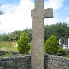
Tonaknock Cross
23.5 km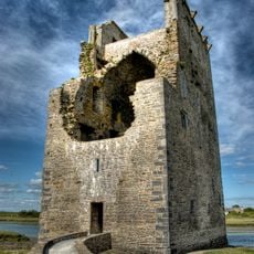
Carrigafoyle Castle
2.9 km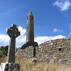
Rattoo Round Tower
16.4 km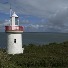
Scattery Island Light
7.2 km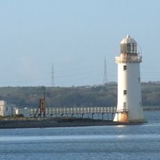
Tarbert Island lighthouse
9.3 km
Carrowmore Dunes
23.4 km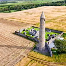
Rattoo Church
16.4 km
Rattoo Early Medieval Ecclesiastical Site
16.4 km
Listowel Bridge
11.6 km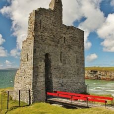
Ballybunion Castle
14 km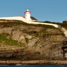
Kilcredaun Head lighthouse
16.2 km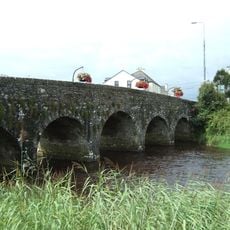
Doonbeg Bridge
20.6 km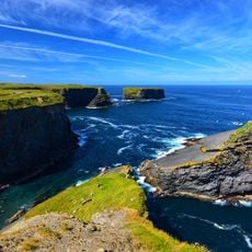
Kilkee Cliff Walk
20 km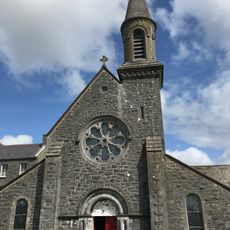
St Michael's Church
18.3 km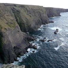
Moveen East
20 km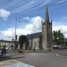
St John's Arts Centre
11.3 km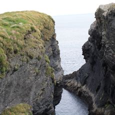
Moveen West
20.6 km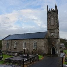
St Senan's Church of Ireland
10.2 km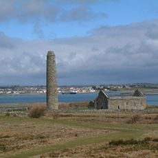
Scattery Island Monastic Site
8 kmReviews
Visited this place? Tap the stars to rate it and share your experience / photos with the community! Try now! You can cancel it anytime.
Discover hidden gems everywhere you go!
From secret cafés to breathtaking viewpoints, skip the crowded tourist spots and find places that match your style. Our app makes it easy with voice search, smart filtering, route optimization, and insider tips from travelers worldwide. Download now for the complete mobile experience.

A unique approach to discovering new places❞
— Le Figaro
All the places worth exploring❞
— France Info
A tailor-made excursion in just a few clicks❞
— 20 Minutes