County Kerry, Administrative county in Munster, Ireland.
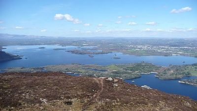
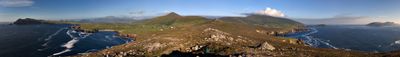
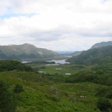
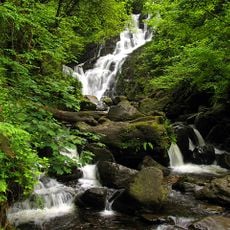
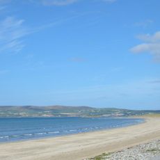
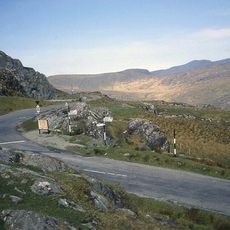
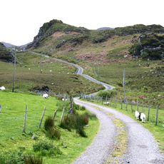
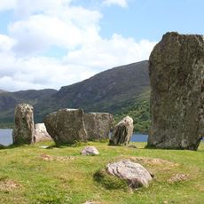
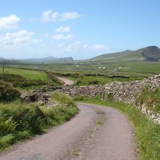
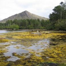
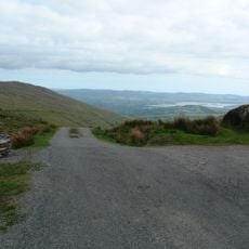
County Kerry is an administrative unit in Munster in southwest Ireland, covering a wide coastal region on the Atlantic and including several peninsulas and mountain ranges. The landscape shows steep cliffs, sheltered bays, and valleys between the heights, while small towns and villages spread across the entire area.
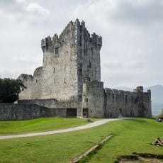
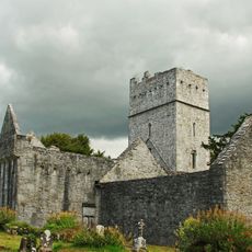
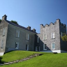
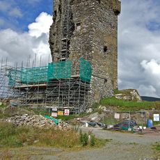
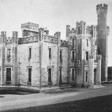
The name goes back to the Cíarraige people who lived here in early Christian times, and the formal foundation as a county took place in 1232 through a royal grant. The Desmond family controlled the territory for centuries until their power ended and the English crown took direct administration.
The two Gaeltacht areas on the Iveragh and Dingle peninsulas preserve everyday life through Irish, and about 40 percent of the population speaks the language in daily conversation. In these communities, you hear Irish spoken in shops and on the streets, giving the place a particular linguistic character.
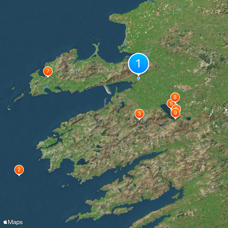
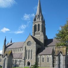
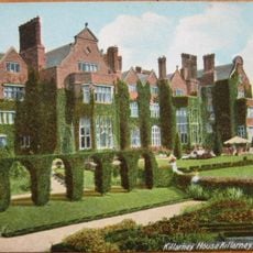
Five administrative districts divide the territory, including Corca Dhuibhne-Castleisland, Kenmare, Killarney, Listowel, and Tralee, with each district providing local services. Roads connect the main settlements along the coast and through the interior, while visitor centers in larger towns offer information about the region.
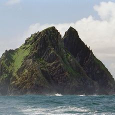
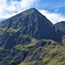
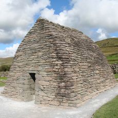
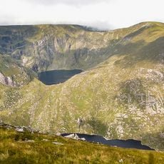
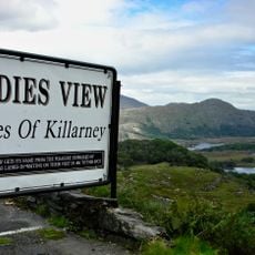
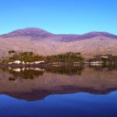
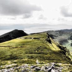
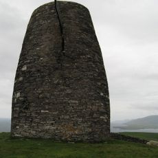
Ireland's highest peak stands here: Carrauntoohil reaches 1,039 meters (3,409 feet) and belongs to a mountain range that rises sharply from the surrounding land. The Skellig Islands off the coast carry medieval monastery ruins perched on rocky terraces above the sea and can only be reached by boat in calm weather.
The community of curious travelers
AroundUs brings together thousands of curated places, local tips, and hidden gems, enriched daily by 60,000 contributors worldwide.