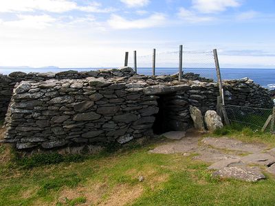
Dunbeg Fort, Iron Age promontory fort on the Dingle Peninsula, Ireland.
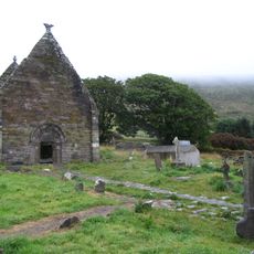
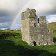
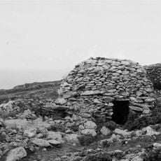
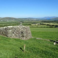
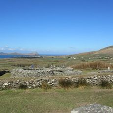
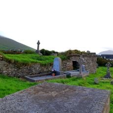
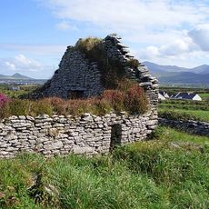
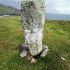
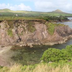
Dunbeg Fort is an Iron Age fortification on the Dingle Peninsula that sits on a rocky promontory at the cliff edge. The site features several concentric earthen walls and ditches running along the clifftop that overlook Dingle Bay.
This fortress developed during the Iron Age and was part of a settlement pattern common across this Irish region. It displays advanced construction techniques with multiple defensive lines that were expanded over many generations.
The fort is named after an ancient local ruler and shows how people chose clifftop locations for their settlements in this region. Visitors can see the traces of early coastal living with its defensive walls and earthen structures that shaped daily life in this rocky landscape.
The fort sits in an open area west of Dingle Town with little shelter from wind and weather. Visitors should bring sturdy footwear and weather-resistant clothing as access to the walls requires walking over uneven sloped ground.
Sections of the western wall collapsed into the sea during severe storms in 2014 and gave archaeologists new insights into early building methods. Stabilization work on threatened structures revealed unexpected details about the composition and construction of the ancient earthen walls.
The community of curious travelers
AroundUs brings together thousands of curated places, local tips, and hidden gems, enriched daily by 60,000 contributors worldwide.