Glanfahan, Archaeological site in County Kerry, Ireland
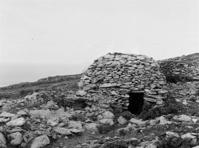
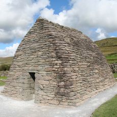
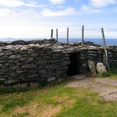
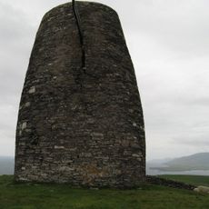
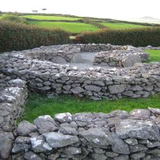
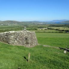
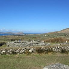
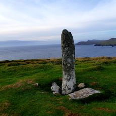
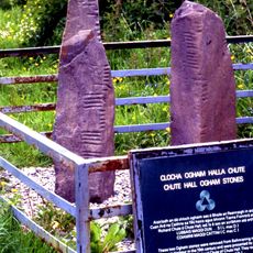
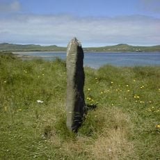
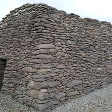
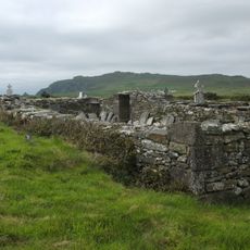
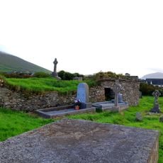
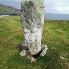
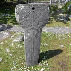
Glanfahan is an archaeological site on the southern slopes of Mount Eagle containing numerous stone structures spread across the landscape. The site features several fortified enclosures known as cashels, along with underground passages and standing stones of varying ages and purposes.
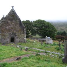
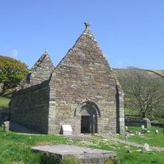
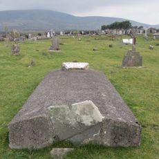
The structures date to the early Christian period between the 5th and 8th centuries, emerging from monastic traditions in the region. The connection to pilgrimage routes toward sacred sites reflects the spiritual importance this area held during that time.
The site served as a pilgrimage destination for centuries, drawing travelers seeking spiritual connection to nearby sacred places. The stone structures reflect how communities organized their daily lives around religious practice and shared shelter.
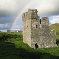
The site is relatively open and can be explored on foot, with several named enclosures like Caherconner and Cahermurphy serving as useful reference points. The terrain is hillside-based, so sturdy footwear and careful footing are advisable, especially after rain.
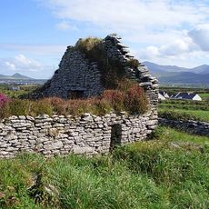
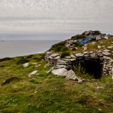
A notable feature is Caherfadaandoruis, an extended complex of three connected chambers linked by an underground passage that shows remarkable stone-working skill. This arrangement reveals how inhabitants engineered living spaces beneath the ground to provide shelter and storage.
The community of curious travelers
AroundUs brings together thousands of curated places, local tips, and hidden gems, enriched daily by 60,000 contributors worldwide.