Kerry Way, Circular hiking trail in County Kerry, Ireland
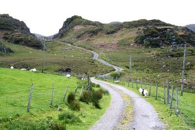
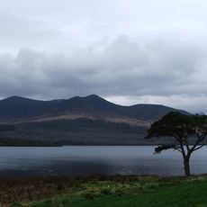
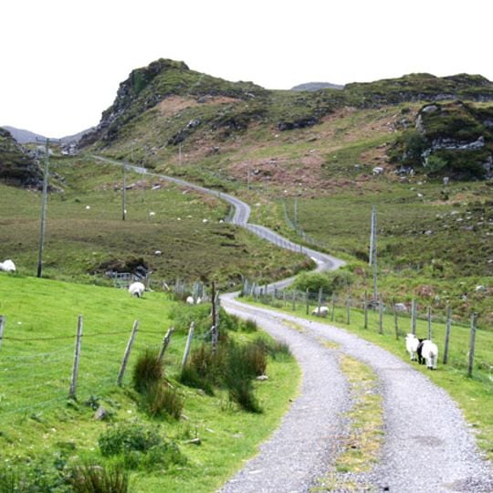
The Kerry Way is a 214-kilometer circular hiking trail that loops around the Iveragh Peninsula, crossing mountains, valleys, lakes, forests, and sections along the Atlantic Ocean. The route divides into nine stages with accommodations positioned at regular intervals along the way.
The Kerry Way was proposed in 1982 by Laune Mountaineering Club and An Taisce members under chairman Seán Ó Súilleabháin, inspired by a lecture from Father John Hayes on old roads of the southwest. The Killarney to Glenbeigh section opened in 1985, the second long-distance trail in the Republic after the Wicklow Way. FÁS scheme workers built the full 214-kilometre route for IEP £60,000, with over 200 stiles and six footbridges; it was completed in 1989 and opened by Frank Fahey, TD.
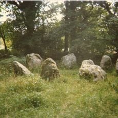
The trail's Irish name, Slí Uíbh Ráthaigh, means the Iveragh Way, after the peninsula it circles. Near the route stand Derrynane House, former home of Daniel O'Connell, and Staigue Fort, a stone fort, plus the Eightercua stone row. The Kenmare–Killarney section is part of the E8 walking route from Dursey Island to Istanbul.
Bring weather-resistant gear since conditions change frequently in this region and can affect your walking plans. Breaking the route into nine stages lets you adjust your pace and rest at villages that offer food and shelter along the way.
The Kerry Way is Ireland's longest National Waymarked Trail, at 214 km. It was built by FÁS social employment scheme workers for about IEP £60,000, with over 200 stiles and six footbridges. The Kenmare–Killarney section is part of the E8 route from Dursey Island to Istanbul.
The community of curious travelers
AroundUs brings together thousands of curated places, local tips, and hidden gems, enriched daily by 94,037 contributors worldwide.