Enable Location

We need your location to show you interesting places around you

Discover nearby places

Find interesting locations and hidden gems around you

Precise directions

Get accurate directions and distances to places

Your location is never shared with other users. It's only used when you tap the location button.

Mangerton Mountain

Log in to your account

Start exploring — it's free

Trusted by 62,499 travelers worldwide

Continue with Google
Continue with Apple
or

We will send you a code to connect

By continuing, you accept our Terms and Conditions and our Privacy Policy

Check your inbox

We've sent a pincode in your inbox. Please enter the code below.

Mangerton Mountain

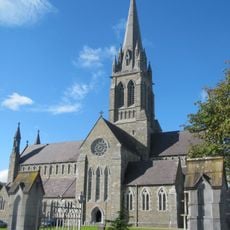
Mangerton Mountain, Mountain summit in County Kerry, Ireland

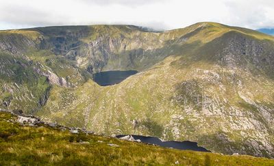
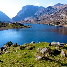
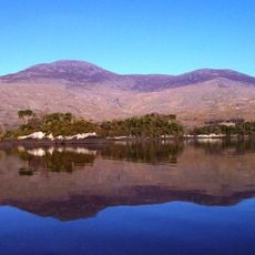
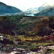
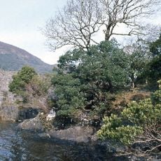
Mangerton Mountain is a summit in County Kerry that rises 838 meters above sea level and features the Devil's Punchbowl, a notable feature on its northwestern side. This deep oval-shaped corrie lake is one of the mountain's most distinctive natural formations.

A significant battle took place on the northern slopes during the 13th century between Gaelic Mac Cárthaigh forces and Norman FitzGerald forces. This conflict left its mark on the region's past and influenced the area's development.

The Irish name An Mhangarta means 'the long-haired mountain,' describing how locals perceive the mountain's appearance through their language. This name reflects the way people see and interpret the natural features around them.

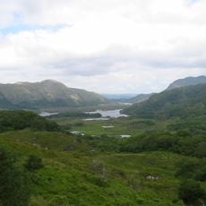
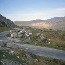
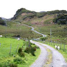
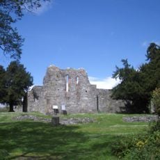
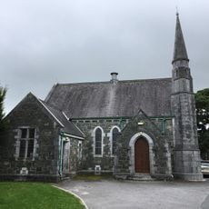
You can approach the mountain from multiple starting points including Cummeenboy Stream and Derrycunihy Church, each offering different route options. Wear proper hiking boots and check the weather before setting out, as conditions can change quickly on the mountain.

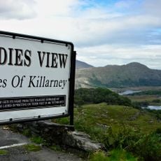
Three lakes emerge from the mountain's corries and flow into the Horse's Glen below: Lough Garagarry, Lough Mannagh, and Lough Erhogh. This cascade of lakes tells the story of ice-age geology and creates a rare glacial landscape.

The community of curious travelers

AroundUs brings together thousands of curated places, local tips, and hidden gems, enriched daily by 60,000 contributors worldwide.

Start exploring
Location
Elevation above the sea
838 m
GPS coordinates
51.97028,-9.48441
Latest update
December 10, 2025 15:48
« Mangerton Mountain - Mountain summit in County Kerry, Ireland » is provided by Around Us (aroundus.com). Images and texts are derived from Wikimedia project under a Creative Commons license. You are allowed to copy, distribute, and modify copies of this page, under the conditions set by the license, as long as this note is clearly visible.

Discover hidden gems everywhere you go!

From secret cafés to breathtaking viewpoints, skip the crowded tourist spots and find places that match your style. Our app makes it easy with voice search, smart filtering, route optimization, and insider tips from travelers worldwide. Download now for the complete mobile experience.

Around Us App Screenshot

A unique approach to discovering new places

Le Figaro

All the places worth exploring

France Info

A tailor-made excursion in just a few clicks

20 Minutes

Around Us
Travel Guide & Maps
Download

Send to your phone

QR Code
1

Open the camera app on your mobile.

2

Point at the QR code with your camera. A notification will appear.

3

Tap the notification to open the link.