
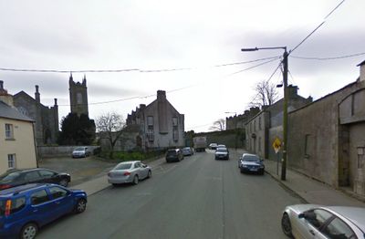
Carnew, village in Leinster, Ireland
Location: County Wicklow
Elevation above the sea: 105 m
GPS coordinates: 52.70972,-6.49583
Latest update: April 8, 2025 08:52
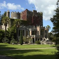
Huntington Castle
10.6 km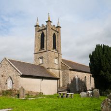
Ferns Cathedral
13.3 km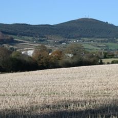
Slieveboy
6 km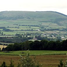
Annagh Hill
9.7 km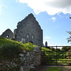
Aghowle Church
10.6 km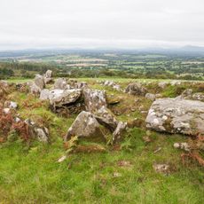
Moylisha Wedge Tomb
9.7 km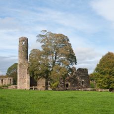
Ferns Abbey
13.4 km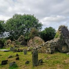
Toome Church
11.2 km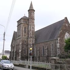
Christ Church
13.9 km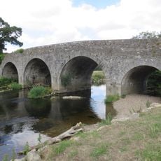
Kilcarry Bridge
12.4 km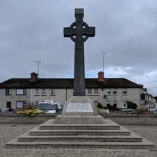
1798 Monument, Ferns
13.2 km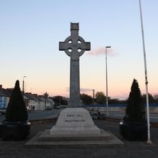
1798 Monument
13.7 km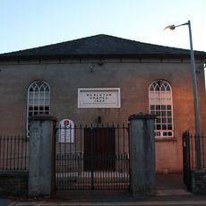
Gorey United Methodist and Presbyterian Church
14.2 km
St Joseph's Church
8.4 km
Shillelagh Church
5.8 km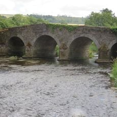
Clonegal Bridge
10.2 km
St Mary's Church
12.4 km
St Brigid's Church
10.5 km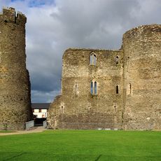
Ferns Castle
13.2 km
All Saints Church
242 m
St Brigid's Church
2.4 km
St Fiaac's Church
10.3 km
St Paul's Church
13.1 km
St Mogue's Well
13.2 km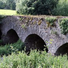
Milltown Bridge
13.8 km
St. Michael's Church, Aghold
10.8 km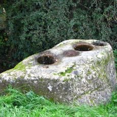
Clonmore Bullaun Stone
14.1 km
Clonmore Monastic Site
14 kmVisited this place? Tap the stars to rate it and share your experience / photos with the community! Try now! You can cancel it anytime.
Discover hidden gems everywhere you go!
From secret cafés to breathtaking viewpoints, skip the crowded tourist spots and find places that match your style. Our app makes it easy with voice search, smart filtering, route optimization, and insider tips from travelers worldwide. Download now for the complete mobile experience.

A unique approach to discovering new places❞
— Le Figaro
All the places worth exploring❞
— France Info
A tailor-made excursion in just a few clicks❞
— 20 Minutes