Suir, River in Counties Tipperary and Waterford, Ireland
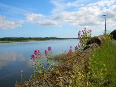
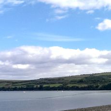
The River Suir is a waterway in Counties Tipperary and Waterford that winds through limestone terrain before emptying into the Atlantic Ocean. It flows through varied landscapes and has served as an important passage for the surrounding regions over generations.
In the 18th century, improvements were made to enable navigation up to Clonmel, with the tidal limit reaching Carrick-on-Suir. These works improved trade and communication links for the region.
The river forms part of a water network connected to the Barrow and Nore, flowing together into Waterford Harbour. This connection shapes the landscape and allows visitors to explore multiple river systems across the region.
The banks offer opportunities for fishing and wildlife watching, especially in the quieter sections between towns. Visitors should be aware of changing water levels, particularly if exploring during tidal periods.
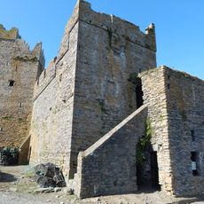
Archaeological excavations near Woodstown revealed remains of an extensive Viking settlement, suggesting early trading activity along the waterway. These findings show how important the river route was for maritime connections during medieval times.
The community of curious travelers
AroundUs brings together thousands of curated places, local tips, and hidden gems, enriched daily by 60,000 contributors worldwide.