Copper Coast Geopark, UNESCO Global Geopark in County Waterford, Ireland
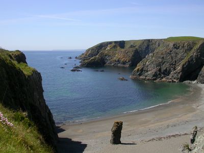
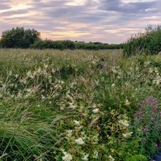
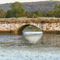
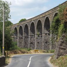
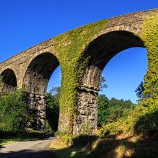
Copper Coast Geopark spreads along the southeastern Irish coast as a landscape of sandy beaches, hidden coves, and rocky headlands stretching roughly 25 kilometers. The area includes several small villages and different walking routes that guide visitors through different parts of the coastal geology.
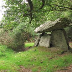
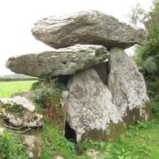
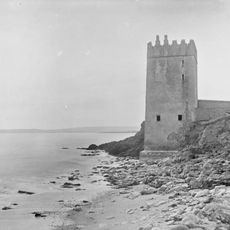
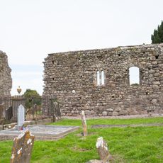
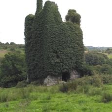
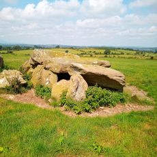
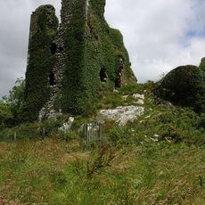
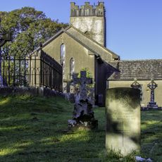
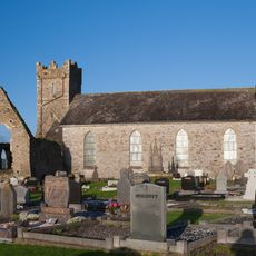
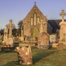
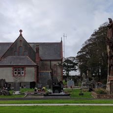
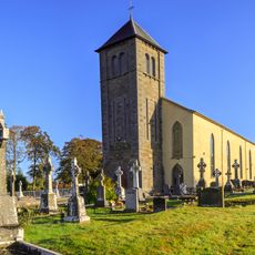
The area takes its name from copper mines that operated actively during the 19th century and brought economic importance to local people. The region also reveals older traces of human settlement, including remains of Neolithic stone tombs, Iron Age fortifications, and medieval buildings.
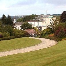
The Visitor Centre displays how local communities have worked with the land's natural resources for generations and how mining shaped the coastal landscape. Walking along the cliffs, you notice the visual marks of this relationship between people and the earth embedded in the terrain itself.
Visitors can use self-guided maps and audio tours available at key points like Annestown and the villages of Boatstrand, Bunmahon, and Stradbally. Printed trail cards help with navigation, and the best time to visit is during the milder weather from May through September.
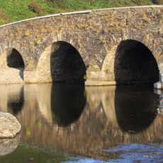
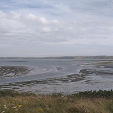
The rocks in this region formed roughly 460 million years ago when the area sat near the South Pole and was shaped by volcanic activity and oceanic processes. This extreme ancient past explains why the rock formations are so unusual and scientifically valuable to geologists.
The community of curious travelers
AroundUs brings together thousands of curated places, local tips, and hidden gems, enriched daily by 60,000 contributors worldwide.