
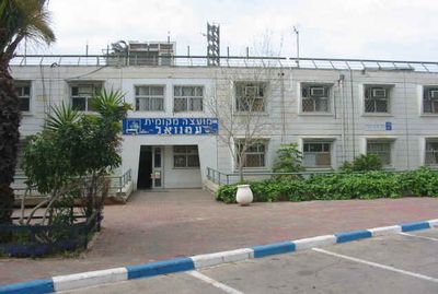
Immanuel, Israeli settlement in the West Bank
Location: Judea and Samaria Area
Inception: 1983
Elevation above the sea: 400 m
Website: https://www.emanuel.muni.il/
Website: https://emanuel.muni.il
GPS coordinates: 32.16186,35.13722
Latest update: March 7, 2025 22:24
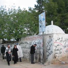
Tomb of Joshua
5.2 km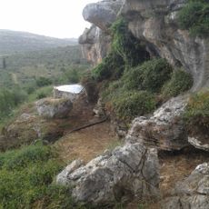
פארק הצנירים
7.7 km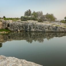
Haris Pools
6.7 km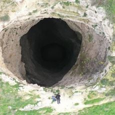
Kamin Hasif
8.5 km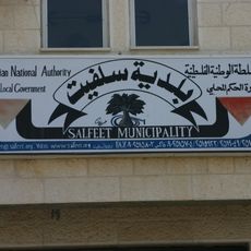
Library of Salfit Municipality
9.7 km
Az Zāwiyah
11.7 km
Al Funduq
3.2 km
The Holocaust memorial
7.1 km
Maghārat Ḩassān
4.1 km
Maghārat Khāniq
955 m
Mughr al Asmar
1.8 km
Maghārat Abū ‘Āmir
3.9 km
Maghārat al Qiţţ
11.2 km
Jīt
6.6 km
Qīrah
5.5 km
Mughr Kikhān
914 m
Far‘atā
4.2 km
Immātīn
3.9 km
Jammā‘īn
7.1 km
Jayyūs
10.7 km
Shaqīf aş Şanam
11.3 km
Maghārat al ‘Asal
2.3 km
Al Maḩfūr
5.4 km
Bi'r al Kharā'ib
10.7 km
Mughr al Malik Birdhawn
5.2 km
Maghārat Ţabbān
4.5 km
Maghārat aş Şāḩib
4.6 km
Mughr Ḩabā'il Salmān
4.5 kmReviews
Visited this place? Tap the stars to rate it and share your experience / photos with the community! Try now! You can cancel it anytime.
Discover hidden gems everywhere you go!
From secret cafés to breathtaking viewpoints, skip the crowded tourist spots and find places that match your style. Our app makes it easy with voice search, smart filtering, route optimization, and insider tips from travelers worldwide. Download now for the complete mobile experience.

A unique approach to discovering new places❞
— Le Figaro
All the places worth exploring❞
— France Info
A tailor-made excursion in just a few clicks❞
— 20 Minutes